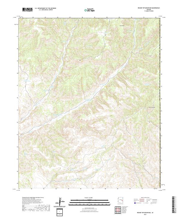
2021 Map of Round Top Mountain
USGS Topo · Published 2021About this map
Round Top Mtn anchors the eastern edge of this Gila County landscape, where the terrain is defined by a dense network of seasonal water sources and livestock infrastructure. The distribution of features like Big Canyon Tank Number One, Walker Tank, and Horse Pasture Tank points to the area's ongoing importance for cattle ranching. This 2021 survey traces the complex drainage patterns of Middle Cedar Cr, E Cedar Cr, and Amos Wash as they carve through the high ridges. Remote roads including Co RD 833 and Co RD 832 provide the only significant access through these drainages. Numerous family or numbered landmarks such as G-five Farm Spring, I-nineteen Springs, and R-seven Spring offer specific geographic data points for researchers mapping the contemporary land use and historical nomenclature of this interior Arizona region.
Find a feature on this map
40 named features on this map. Tap any name to fly to it.
Don’t see what you’re looking for? This feature index may not catch every label — zoom into the map to look around manually.
Map Details
Editions of this 2021 Round Top Mountain Map
This is the sole edition of this map. No revisions or reprints were ever made.
Other maps of this area

1886 · St Johns
USGS Topo · 1:250,000

1886 · Holbrook
USGS Topo · 1:250,000

1892 · St Johns
USGS Topo · 1:250,000

1893 · Holbrook
USGS Topo · 1:250,000

1954 · Holbrook
USGS Topo · 1:250,000

1954 · Clifton
USGS Topo · 1:250,000

1954 · Saint Johns
USGS Topo · 1:250,000

1954 · Mesa
USGS Topo · 1:250,000

1957 · Mesa
USGS Topo · 1:250,000

1957 · Holbrook
USGS Topo · 1:250,000