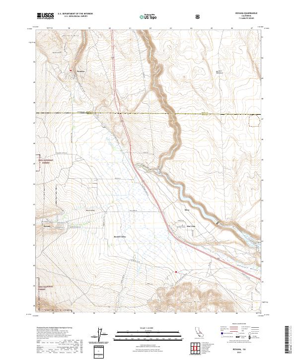
2021 Map of Rovana
USGS Topo · Published 2021About this map
The Owens River Gorge and its surrounding geological formations define this portion of the Owens Valley, where the high desert meets the base of the Sierra Nevada. This 2021 record highlights the small residential enclaves of Paradise, Rovana, and Alta Vista, established along the transition between the Volcanic Tableland and the southern slopes of Sherwin Hill. The landscape is etched with historical transportation routes, notably the Sherwin Grade Rd and its predecessor, the Old Sherwin Grade Rd, which trace the ascent toward the northern highlands.
Find a feature on this map
51 named features on this map. Tap any name to fly to it.
Don’t see what you’re looking for? This feature index may not catch every label — zoom into the map to look around manually.
Map Details
Editions of this 2021 Rovana Map
This is the sole edition of this map. No revisions or reprints were ever made.
Other maps of this area

1912 · Mt. Goddard
USGS Topo · 1:125,000

1913 · Bishop
USGS Topo · 1:125,000

1914 · Mt. Morrison
USGS Topo · 1:125,000

1917 · White Mountain
USGS Topo · 1:125,000

1947 · Mariposa
USGS Topo · 1:250,000

1948 · Mariposa
USGS Topo · 1:250,000

1949 · Mt. Tom
USGS Topo · 1:62,500

1949 · Bishop
USGS Topo · 1:62,500

1951 · Mt. Tom
USGS Topo · 1:62,500

1951 · Bishop
USGS Topo · 1:62,500