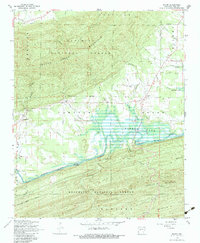
1968 Map of Rover
USGS Topo · Published 1983About this map
The Fourche La Fave River valley is the central artery of this Yell County landscape, where the waters of the Nimrod Lake reservoir back up into the river's winding course. This late-1960s survey documents the rural character of the area south of Ouachita Mountain, where small settlements like Rover, Wing, and Briggsville maintain their proximity to the water and the rising slopes of the Ouachita National Forest. Unlike more developed regions, the terrain here is defined by numerous creek systems such as Dutch Creek and Twomile Creek that feed into the river valley.
Find a feature on this map
35 named features on this map. Tap any name to fly to it.
Don’t see what you’re looking for? This feature index may not catch every label — zoom into the map to look around manually.
Map Details
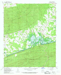
Editions of this 1968 Rover Map
2 editions found
Other maps of this area

1879 · Mountain Home
USGS Topo · 1:62,500

1887 · Magazine Mountain #4
USGS Topo · 1:62,500

1887 · Magazine Mountain
USGS Topo · 1:62,500

1888 · Dardanelle #3
USGS Topo · 1:62,500

1890 · Magazine Mountain
USGS Topo · 1:125,000

1890 · Mount Ida
USGS Topo · 1:125,000

1890 · Hot Springs
USGS Topo · 1:125,000

1890 · Dardanelle
USGS Topo · 1:125,000

1894 · Hot Springs
USGS Topo · 1:125,000

1955 · Little Rock
USGS Topo · 1:250,000