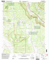
2002 Map of Rowe
USGS Topo · Published 2003About this map
The settlement of Rowe sits at the junction of rail and river history, where the Atchison Topeka and Santa Fe railroad parallels the course of the Pecos River. This 2002 revision of earlier topographical data highlights the enduring path of the Historic Santa Fe Trail as it winds through the Los Trigos Grant and past Rowe Hill. The landscape is defined by the massive Glorieta Mesa, which rises sharply above the surrounding canyons and plains.
Find a feature on this map
43 named features on this map. Tap any name to fly to it.
Don’t see what you’re looking for? This feature index may not catch every label — zoom into the map to look around manually.
Map Details
Editions of this 2002 Rowe Map
This is the sole edition of this map. No revisions or reprints were ever made.
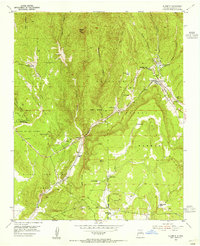
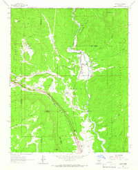
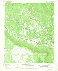
Other maps of this area

1889 · Santa Fe
USGS Topo · 1:125,000

1894 · Santa Fe
USGS Topo · 1:125,000

1894 · Lamy
USGS Topo · 1:125,000
1953 · Glorieta
USGS Topo · 1:24,000

1954 · Santa Fe
USGS Topo · 1:250,000

1958 · Santa Fe
USGS Topo · 1:250,000
1961 · Pecos
USGS Topo · 1:24,000

1961 · Lower Colonias
USGS Topo · 1:24,000

1966 · Laguna Ortiz
USGS Topo · 1:24,000
1966 · North San Ysidro
USGS Topo · 1:24,000