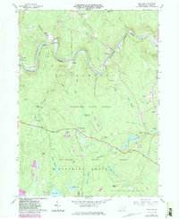
1966 Map of Rowland
USGS Topo · Published 1983About this map
The Lackawaxen River carves a deep valley through this corner of Pike County, defining a landscape where early industry and recreation meet the Pennsylvania wilderness. Along the northern riverbanks, the small settlements of Glen Eyre, Kimble, and Rowland mark the path of the valley floor, with the Shimers Rock Cut indicating the rugged engineering required for early transport. Further south, the terrain rises into the heavily wooded Delaware State Forest, dotted with numerous wetlands and glacial features like Beaver Swamp and Fourmile Pond.
Find a feature on this map
59 named features on this map. Tap any name to fly to it.
Don’t see what you’re looking for? This feature index may not catch every label — zoom into the map to look around manually.
Map Details
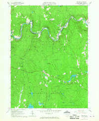
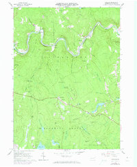
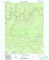
Editions of this 1966 Rowland Map
4 editions found
Other maps of this area

1913 · Milford
USGS Topo · 1:62,500

1915 · Milford
USGS Topo · 1:62,500

1920 · Damascus
USGS Topo · 1:62,500

1922 · White Lake
USGS Topo · 1:62,500

1923 · Damascus
USGS Topo · 1:62,500

1935 · Hawley
USGS Topo · 1:62,500

1938 · Hawley
USGS Topo · 1:62,500

1942 · White Lake
USGS Topo · 1:62,500

1943 · Honesdale
USGS Topo · 1:125,000

1943 · White Lake
USGS Topo · 1:62,500
Featured Places
- Lackawaxen Township, PA
- Blooming Grove Township, PA
- Baoba, Lackawaxen Township
- Rowland, Lackawaxen Township
- Camelot Forest, Blooming Grove Township