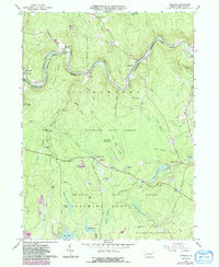
1966 Map of Rowland
USGS Topo · Published 1984About this map
The Lackawaxen River cuts a deep, winding path through the northern reaches of Pike County, accompanied by the rails of the Lackawaxen and Stourbridge. This mid-century landscape is defined by its water and woods, with the expansive Delaware State Forest and Blooming Grove hunting grounds covering much of the southern terrain. Small, isolated settlements like Glen Eyre, Rowland, and Bohemia dot the river valley and upland ridges, connected by winding mountain roads.
Find a feature on this map
57 named features on this map. Tap any name to fly to it.
Don’t see what you’re looking for? This feature index may not catch every label — zoom into the map to look around manually.
Map Details
Editions of this 1966 Rowland Map
4 editions found
Other maps of this area

1913 · Milford
USGS Topo · 1:62,500

1915 · Milford
USGS Topo · 1:62,500

1920 · Damascus
USGS Topo · 1:62,500

1922 · White Lake
USGS Topo · 1:62,500

1923 · Damascus
USGS Topo · 1:62,500

1935 · Hawley
USGS Topo · 1:62,500

1938 · Hawley
USGS Topo · 1:62,500

1942 · White Lake
USGS Topo · 1:62,500

1943 · Honesdale
USGS Topo · 1:125,000

1943 · White Lake
USGS Topo · 1:62,500
Featured Places
- Lackawaxen Township, PA
- Blooming Grove Township, PA
- Baoba, Lackawaxen Township
- Rowland, Lackawaxen Township
- Camelot Forest, Blooming Grove Township