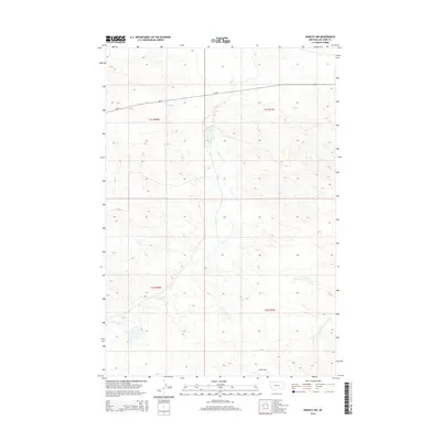
2014 Map of Rowley NW
USGS Topo · Published 2014About this map
Telegraph Cr and Fly Cr define the hydrological character of this Big Horn County landscape, where wide-reaching drainage networks converge across the high plains. The terrain is structured by the Public Land Survey System, with the boundaries of t1s r30e, t1s r31e, t2s r30e, and t2s r31e meeting here. The map documents a sparsely populated but vital corridor, dominated by the path of Us-87 as it traverses the northern sections. Along the southern edge, the winding course of Woody Cr and the N Fork Two Leggins Cr provide essential water sources for the region's ranching and agricultural operations. This 2014 edition captures the steady, traditional land use patterns and topographical relief of south-central Montana prior to recent shifts in regional infrastructure.
Find a feature on this map
9 named features on this map. Tap any name to fly to it.
Don’t see what you’re looking for? This feature index may not catch every label — zoom into the map to look around manually.
Map Details
Editions of this 2014 Rowley NW Map
This is the sole edition of this map. No revisions or reprints were ever made.
Other maps of this area

1893 · Huntley
USGS Topo · 1:125,000

1894 · Fort Custer
USGS Topo · 1:125,000

1954 · Billings
USGS Topo · 1:250,000

1954 · Hardin
USGS Topo · 1:250,000

1957 · Hardin
USGS Topo · 1:250,000

1957 · Billings
USGS Topo · 1:250,000

1958 · Billings
USGS Topo · 1:250,000

1958 · Hardin
USGS Topo · 1:250,000
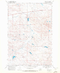
1969 · Rowley NW
USGS Topo · 1:24,000
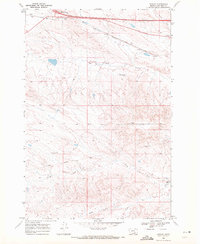
1969 · Rowley
USGS Topo · 1:24,000