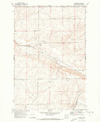
1970 Map of Roxboro
USGS Topo · Published 1973About this map
Lind Coulee dominates the topography of this Adams County landscape, carving a deep path across the terrain where the Chicago Milwaukee St Paul and Pacific railroad tracks follow the low ground. The settlement of Roxboro serves as a central point along these rails, accompanied by a Landing Strip, Substation, and several Borrow Pits that suggest local industrial activity. Further south, the open expanse of Kansas Prairie is marked by the Kansas Prairie Cem and a network of section-line roads like Herman Road and Providence Road.
Find a feature on this map
33 named features on this map. Tap any name to fly to it.
Don’t see what you’re looking for? This feature index may not catch every label — zoom into the map to look around manually.
Map Details
Editions of this 1970 Roxboro Map
2 editions found
Other maps of this area

1916 · Connell
USGS Topo · 1:125,000

1918 · Connell
USGS Topo · 1:125,000

1925 · Schrag
USGS Topo · 1:62,500

1953 · Walla Walla
USGS Topo · 1:250,000

1953 · Ritzville
USGS Topo · 1:250,000

1958 · Walla Walla
USGS Topo · 1:250,000

1959 · Ritzville
USGS Topo · 1:250,000

1965 · Ritzville
USGS Topo · 1:250,000

1967 · Reiman SW
USGS Topo · 1:24,000
1967 · Weber
USGS Topo · 1:24,000