Loading...
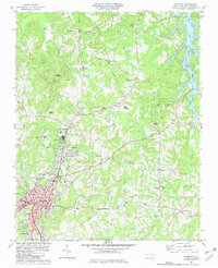
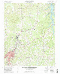
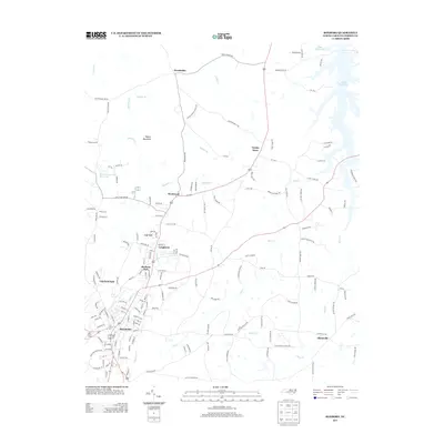
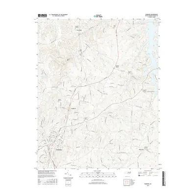
Loading map...1982 Map of Roxboro
USGS Topo · Published 1982About this map
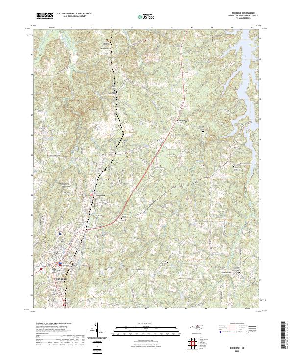
Roxboro serves as the focal point of this North Carolina survey, showing the town's industrial and residential footprint as it stood in the early 1980s. The Norfolk and Western railroad corridor anchors the landscape, passing through Longhurst and Cal-Vel while connecting local commerce to the broader region. Notable institutional features include the State Prison Camp and the Municipal Building, alongside numerous schools such as Person Technical Institute and Bradsher Sch.
Find a feature on this map
53 named features on this map. Tap any name to fly to it.
Don’t see what you’re looking for? This feature index may not catch every label — zoom into the map to look around manually.
Map Details
Date Portrayed1982
Date Published1982
PublisherU.S. Geological Survey
Map TypeTopographic
Scale1:24,000
Physical Dimensions21.7 x 26.7 inches
Editions of this 1982 Roxboro Map
2 editions found
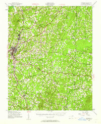
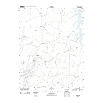
Historical Maps of Roxboro Through Time
7 maps found
Featured Locations
Source Details
SourceU.S. Geological Survey
CopyrightPublic Domain