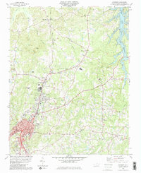
1982 Map of Roxboro
USGS Topo · Published 1982About this map
Roxboro serves as the focal point of this 1982 survey, revealing the established industrial and civic footprint of the Person Technical Institute and the State Prison Camp. The Norfolk and Western railroad corridor cuts through the landscape, anchoring textile-era settlements like Longhurst and Cal-Vel. This era marks a significant point in local infrastructure, with the waters of the Mayo Reservoir appearing along the eastern edge, a major hydrological feature for the county.
Find a feature on this map
47 named features on this map. Tap any name to fly to it.
Don’t see what you’re looking for? This feature index may not catch every label — zoom into the map to look around manually.
Map Details
Editions of this 1982 Roxboro Map
2 editions found
Other maps of this area

1943 · Roxboro
USGS Topo · 1:62,500

1952 · Milton
USGS Topo · 1:62,500

1953 · South Boston
USGS Topo · 1:62,500

1953 · Greensboro
USGS Topo · 1:250,000

1954 · Greensboro
USGS Topo · 1:250,000

1956 · Milton
USGS Topo · 1:62,500

1957 · South Boston
USGS Topo · 1:62,500

1962 · Greensboro
USGS Topo · 1:250,000

1966 · Greensboro
USGS Topo · 1:250,000

1968 · Hurdle Mills
USGS Topo · 1:24,000