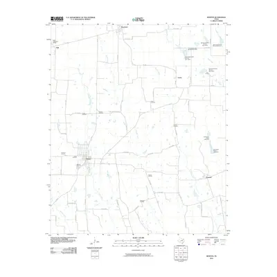
2010 Map of Roxton
USGS Topo · Published 2010About this map
Roxton serves as the central hub of this agricultural landscape in Lamar County, where the street grid remains distinct among the surrounding creek drainages. The area is characterized by a high density of small, family-named burial grounds, such as McGlasson Cemetery and Topping Cemetery, which point to a long history of rural settlement and local kinship. The hydrological network is dominated by Maxwell Creek and Mallory Creek, with numerous soil conservation dams including Soil Conservation Service Site 1 Dam indicating active water management for the surrounding farmsteads. Smaller hamlets like Howland and Ambia anchor the eastern side of the sheet, connected by a web of Farm to Market roads that replaced the earlier wagon paths. This 2010 update preserves the location of landmarks like Rockyford Cemetery, providing a clear record of the area's ancestral sites before further modernization.
Find a feature on this map
61 named features on this map. Tap any name to fly to it.
Don’t see what you’re looking for? This feature index may not catch every label — zoom into the map to look around manually.
Map Details
Editions of this 2010 Roxton Map
This is the sole edition of this map. No revisions or reprints were ever made.
Other maps of this area

1903 · Paris
USGS Topo · 1:125,000

1947 · Honey Grove
USGS Topo · 1:62,500

1948 · Paris
USGS Topo · 1:62,500

1949 · Honey Grove
USGS Topo · 1:62,500

1949 · Paris
USGS Topo · 1:62,500

1953 · Texarkana
USGS Topo · 1:250,000

1956 · Texarkana
USGS Topo · 1:250,000

1964 · Charleston
USGS Topo · 1:24,000

1964 · Cooper North
USGS Topo · 1:24,000

1964 · Pecan Gap
USGS Topo · 1:24,000