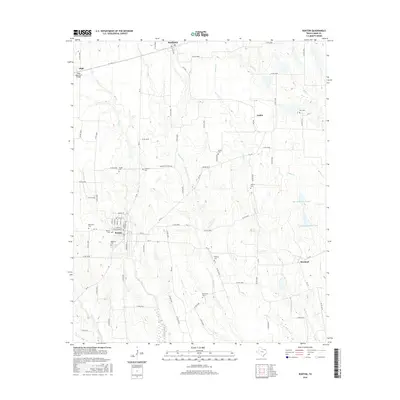
2016 Map of Roxton
USGS Topo · Published 2016About this map
Roxton serves as the primary hub of this north Texas landscape, characterized by a grid of farm-to-market roads and a high density of rural burial grounds. The town itself is centered around several streets such as Market St and Sunset St, with its local history anchored by Restland Cem, Denton Cem, and Rockyford Cem. To the north and east, small agricultural settlements like Ambia and Howland are connected by roads like FM 1506 and FM 137, while the land is drained by a series of south-flowing waterways including Maxwell Cr and Mallory Cr. The area’s spiritual and social history is visible through landmarks like Gough Ch and Arkansas Ch. This documentation captures a stable rural environment where family-named cemeteries such as Rice Cem and Topping Cem serve as enduring markers of early Lamar County homesteads and lineages.
Find a feature on this map
88 named features on this map. Tap any name to fly to it.
Don’t see what you’re looking for? This feature index may not catch every label — zoom into the map to look around manually.
Map Details
Editions of this 2016 Roxton Map
This is the sole edition of this map. No revisions or reprints were ever made.
Other maps of this area

1903 · Paris
USGS Topo · 1:125,000

1947 · Honey Grove
USGS Topo · 1:62,500

1948 · Paris
USGS Topo · 1:62,500

1949 · Honey Grove
USGS Topo · 1:62,500

1949 · Paris
USGS Topo · 1:62,500

1953 · Texarkana
USGS Topo · 1:250,000

1956 · Texarkana
USGS Topo · 1:250,000

1964 · Charleston
USGS Topo · 1:24,000

1964 · Cooper North
USGS Topo · 1:24,000

1964 · Pecan Gap
USGS Topo · 1:24,000