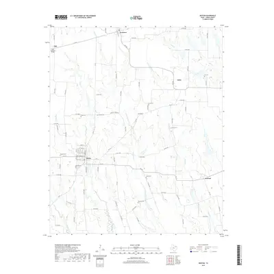
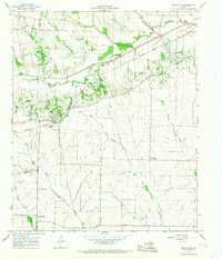
2019 Map of Roxton
USGS Topo · Published 2019About this map
The town of Roxton anchors this landscape, its grid of streets such as High St, Denton St, and Wight St revealing the organized layout of a rural Texas community. This area is exceptionally dense with burial sites that provide a primary record for family researchers, including the Denton Cem, Restland Cem, and Rockyford Cem situated near the town center. The surrounding countryside is divided by a network of county roads that connect outlying settlements like Brookston, Ambia, and Howland.
Find a feature on this map
83 named features on this map. Tap any name to fly to it.
Don’t see what you’re looking for? This feature index may not catch every label — zoom into the map to look around manually.
Map Details
Editions of this 2019 Roxton Map
This is the sole edition of this map. No revisions or reprints were ever made.
Other maps of this area
1903 · Paris
USGS Topo · 1:125,000
1947 · Honey Grove
USGS Topo · 1:62,500
1948 · Paris
USGS Topo · 1:62,500
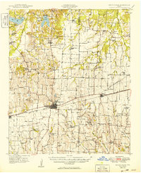
1949 · Honey Grove
USGS Topo · 1:62,500
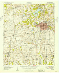
1949 · Paris
USGS Topo · 1:62,500

1953 · Texarkana
USGS Topo · 1:250,000

1956 · Texarkana
USGS Topo · 1:250,000
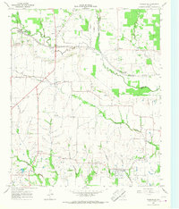
1964 · Charleston
USGS Topo · 1:24,000
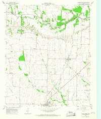
1964 · Cooper North
USGS Topo · 1:24,000
1964 · Pecan Gap
USGS Topo · 1:24,000