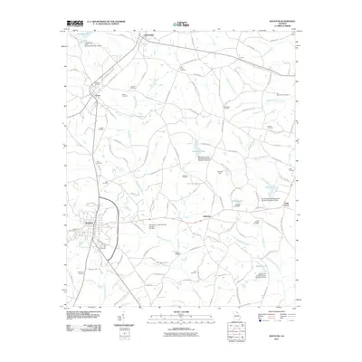
2011 Map of Royston
USGS Topo · Published 2011About this map
Royston and the surrounding Georgia countryside are mapped here at the turn of the decade, revealing a landscape defined by small rural settlements and a series of watershed management structures. The area around Canon and Bowersville is heavily marked by family and community history, with numerous burial grounds such as Oak View Cemetery and Manly Cemetery dotting the roads. Significant water management is evident throughout the terrain, featuring several numbered dams like the Beaverdam Creek Watershed Structure Number Eight Dam and the North Broad River Structure Number 28 Dam, which control the flow of local creeks. Smaller communities like Goldmine and Air Line serve as local hubs, while Bakers Bridge provides a crossing over the winding Pruitt Creek. This map captures the intricate network of local roads and the enduring footprint of historic cemeteries across this corner of Georgia.
Find a feature on this map
122 named features on this map. Tap any name to fly to it.
Don’t see what you’re looking for? This feature index may not catch every label — zoom into the map to look around manually.
Map Details
Editions of this 2011 Royston Map
This is the sole edition of this map. No revisions or reprints were ever made.
Other maps of this area

1891 · Carnesville
USGS Topo · 1:125,000

1893 · Elberton
USGS Topo · 1:125,000

1954 · Greenville
USGS Topo · 1:250,000

1958 · Greenville
USGS Topo · 1:250,000

1958 · Danielsville
USGS Topo · 1:62,500

1958 · Elberton
USGS Topo · 1:62,500

1959 · Carnesville
USGS Topo · 1:24,000

1959 · Lavonia
USGS Topo · 1:24,000

1959 · Royston
USGS Topo · 1:24,000

1959 · Hartwell
USGS Topo · 1:24,000