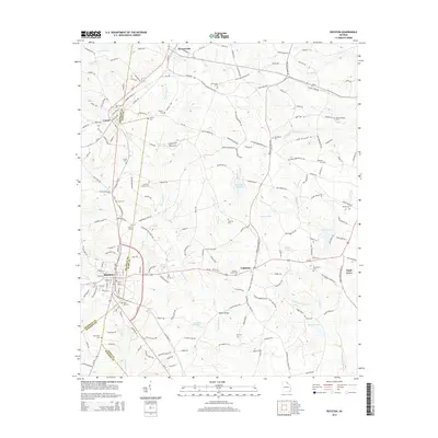
2014 Map of Royston
USGS Topo · Published 2014About this map
Royston serves as a central hub where the borders of Franklin, Hart, and Madison Counties converge, anchoring a landscape defined by small agricultural settlements and a high density of family and community burial grounds. This 2014 edition documents the area's rural character, with towns like Bowersville, Canon, and Goldmine connected by a network of local routes such as Airline-Goldmine Rd and Bethany-Bowersville Rd. The topography is etched by numerous water bodies, including Beaverdam Cr, Pruitt Cr, and several reservoirs like Reservoir 17.
Find a feature on this map
174 named features on this map. Tap any name to fly to it.
Don’t see what you’re looking for? This feature index may not catch every label — zoom into the map to look around manually.
Map Details
Editions of this 2014 Royston Map
This is the sole edition of this map. No revisions or reprints were ever made.
Other maps of this area

1891 · Carnesville
USGS Topo · 1:125,000

1893 · Elberton
USGS Topo · 1:125,000

1954 · Greenville
USGS Topo · 1:250,000

1958 · Greenville
USGS Topo · 1:250,000

1958 · Danielsville
USGS Topo · 1:62,500

1958 · Elberton
USGS Topo · 1:62,500

1959 · Carnesville
USGS Topo · 1:24,000

1959 · Lavonia
USGS Topo · 1:24,000

1959 · Royston
USGS Topo · 1:24,000

1959 · Hartwell
USGS Topo · 1:24,000