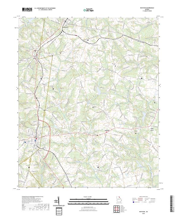
2024 Map of Royston
USGS Topo · Published 2024About this map
Royston serves as a primary hub where Franklin, Madison, and Hart counties converge in Northeast Georgia. The landscape is defined by a dense network of watercourses, including Beaverdam Creek, Pruitt Creek, and Shoal Creek, which feed into various reservoirs such as Reservoir 28 and Reservoir Eight. The area retains its historical settlement pattern with smaller rural centers like Bowersville, Canon, and Goldmine connected by a web of legacy roads including Old Bowersville Hwy and Old Canon Church Rd. The terrain is marked by agricultural clearings and small bodies of water like Brooks Lake and Wilders Pond, illustrating the region's enduring reliance on local water resources. To the east, Eagle Grove and Flat Shoals Creek mark the transition toward more open rural space, while the infrastructure of the Airport Rd area near Canon reflects the modern development footprint surrounding these traditional communities.
Find a feature on this map
176 named features on this map. Tap any name to fly to it.
Don’t see what you’re looking for? This feature index may not catch every label — zoom into the map to look around manually.
Map Details
Editions of this 2024 Royston Map
This is the sole edition of this map. No revisions or reprints were ever made.
Other maps of this area

1891 · Carnesville
USGS Topo · 1:125,000

1893 · Elberton
USGS Topo · 1:125,000

1954 · Greenville
USGS Topo · 1:250,000

1958 · Greenville
USGS Topo · 1:250,000

1958 · Danielsville
USGS Topo · 1:62,500

1958 · Elberton
USGS Topo · 1:62,500

1959 · Carnesville
USGS Topo · 1:24,000

1959 · Lavonia
USGS Topo · 1:24,000

1959 · Royston
USGS Topo · 1:24,000

1959 · Hartwell
USGS Topo · 1:24,000