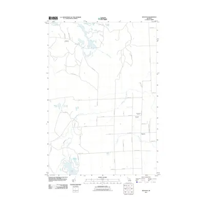
2011 Map of Royston
USGS Topo · Published 2011About this map
Royston anchors the southeastern corner of this Alpena County landscape, situated where the North Branch Thunder Bay River and Truax Creek wind through the terrain. The northern reaches are defined by a complex network of glacial lakes, including Lake Emma, Horseshoe Lake, and Lake Ferdelman, which feed into the Ocqueoc River system. The presence of the Lake Emma Lookout Tower highlights the area's forest management history, while the local road network—bearing names like Bone Yard Hwy and Kyles Rd—connects scattered homesteads and timber tracts.
Find a feature on this map
53 named features on this map. Tap any name to fly to it.
Don’t see what you’re looking for? This feature index may not catch every label — zoom into the map to look around manually.
Map Details
Editions of this 2011 Royston Map
This is the sole edition of this map. No revisions or reprints were ever made.
Other maps of this area

1954 · Alpena
USGS Topo · 1:250,000

1955 · Atlanta
USGS Topo · 1:62,500

1955 · Hillman
USGS Topo · 1:62,500

1955 · Cheboygan
USGS Topo · 1:250,000

1957 · Alpena
USGS Topo · 1:250,000

1957 · Onaway
USGS Topo · 1:62,500

1958 · Cheboygan
USGS Topo · 1:250,000

1958 · Alpena
USGS Topo · 1:250,000

1969 · Alpena
USGS Topo · 1:250,000

1971 · Hawks
USGS Topo · 1:24,000