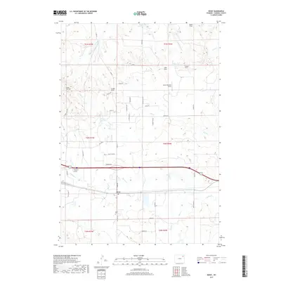
2017 Map of Rozet
USGS Topo · Published 2017About this map
Rozet serves as the primary node of activity in this portion of Campbell County, situated along a transportation corridor that includes Interstate 90 and the northern rail line. The landscape is defined by the winding course of Donkey Cr, which is fed by numerous drainages such as Preston Draw and Hamm Draw. Notable landmarks like Indian Tree Hill and Cradle Butte rise above the surrounding terrain, providing natural navigation points in an area largely dominated by ranching and resource extraction. Evidence of the region's infrastructure is found in the network of rural roads, including Oil Field Rd and Night Train Rd, alongside the Kissack/Reynolds Airport. Local history and genealogy are anchored at the Rozet Cem, while the importance of water management in this environment is clear from the presence of Nelson Reservoir and Jiggs Reservoir.
Find a feature on this map
48 named features on this map. Tap any name to fly to it.
Don’t see what you’re looking for? This feature index may not catch every label — zoom into the map to look around manually.
Map Details
Editions of this 2017 Rozet Map
This is the sole edition of this map. No revisions or reprints were ever made.
Other maps of this area

1954 · Gillette
USGS Topo · 1:250,000

1955 · Gillette
USGS Topo · 1:250,000

1958 · Gillette
USGS Topo · 1:250,000

1962 · Gillette
USGS Topo · 1:250,000

1971 · Coyote Draw
USGS Topo · 1:24,000

1971 · Coon Track Creek
USGS Topo · 1:24,000

1971 · Rozet
USGS Topo · 1:24,000
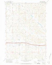
1971 · Rozet SE
USGS Topo · 1:24,000
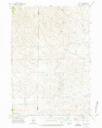
1971 · Rozet NE
USGS Topo · 1:24,000
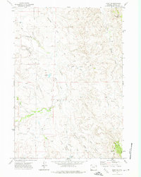
1971 · Rozet NW
USGS Topo · 1:24,000