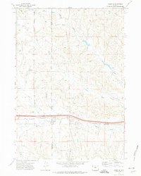
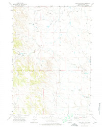
1971 Map of Rozet SE
USGS Topo · Published 1974About this map
The energy-rich landscape of Wyoming’s High Plains is captured here in the early 1970s, where the boundary of Campbell and Crook Counties intersects a significant network of extraction. Multiple distinct operations define the local industry, including the Stewart Ranch Oil Field, Kummerfeld Oil Field, and the North Donkey Creek Oil Field. These sites are marked by numerous drill holes and wells scattered across the terrain of Little Pine Ridge and the drainages of Thompson Creek and Wheat Draw.
Find a feature on this map
15 named features on this map. Tap any name to fly to it.
Don’t see what you’re looking for? This feature index may not catch every label — zoom into the map to look around manually.
Map Details
Editions of this 1971 Rozet SE Map
2 editions found

Other maps of this area
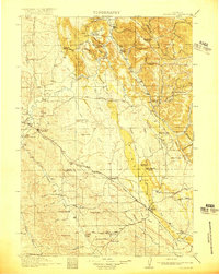
1918 · Moorcroft
USGS Topo · 1:125,000
1918 · Moorcroft
USGS Topo · 1:62,500

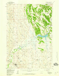
1954 · Gillette
USGS Topo · 1:250,000

1955 · Gillette
USGS Topo · 1:250,000
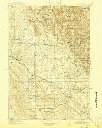
1957 · Moorcroft
USGS Topo · 1:62,500

1958 · Gillette
USGS Topo · 1:250,000

1962 · Gillette
USGS Topo · 1:250,000
1971 · Coon Track Creek
USGS Topo · 1:24,000
1971 · Rozet
USGS Topo · 1:24,000

1971 · Rozet NE
USGS Topo · 1:24,000