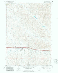
1971 Map of Rozet SE
USGS Topo · Published 1987About this map
Industrial energy production and rugged ranchlands define this 1971 survey of the Wyoming borderlands between Campbell Co and Crook Co. The landscape is heavily marked by the region's mid-century petroleum boom, featuring the expansive Kummerfeld Oil Field, the Stewart Ranch Oil Field, and several installations across the North Donkey Creek Oil Field. These fields are interspersed with numerous drill holes and oil wells, indicating a period of intense subsurface exploration.
Find a feature on this map
23 named features on this map. Tap any name to fly to it.
Don’t see what you’re looking for? This feature index may not catch every label — zoom into the map to look around manually.
Map Details
Editions of this 1971 Rozet SE Map
2 editions found
Other maps of this area

1918 · Moorcroft
USGS Topo · 1:125,000

1918 · Moorcroft
USGS Topo · 1:62,500

1954 · Gillette
USGS Topo · 1:250,000

1955 · Gillette
USGS Topo · 1:250,000

1957 · Moorcroft
USGS Topo · 1:62,500

1958 · Gillette
USGS Topo · 1:250,000

1962 · Gillette
USGS Topo · 1:250,000

1971 · Coon Track Creek
USGS Topo · 1:24,000

1971 · Rozet
USGS Topo · 1:24,000
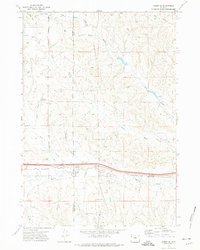
1971 · Rozet SE
USGS Topo · 1:24,000