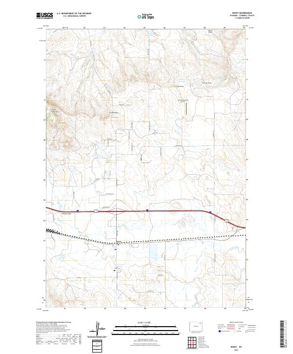
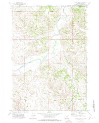
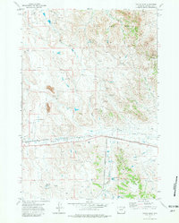
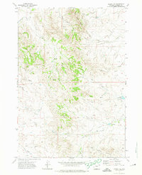
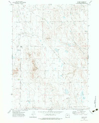
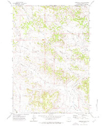
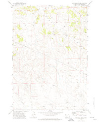
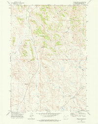
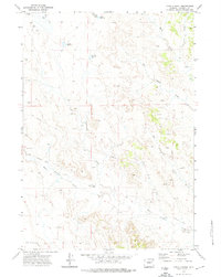
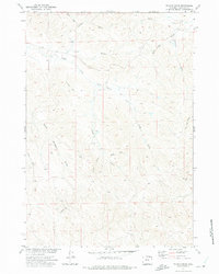
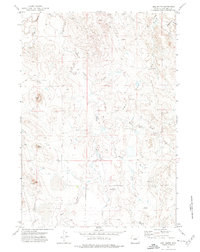
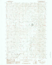
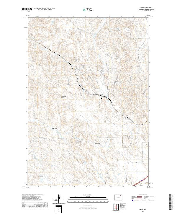
2021 Map of Rozet
USGS Topo · Published 2021About this map
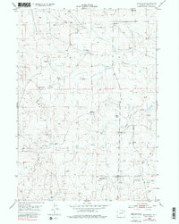
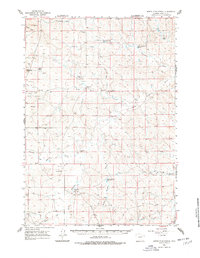
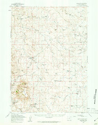
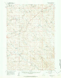
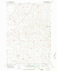
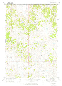
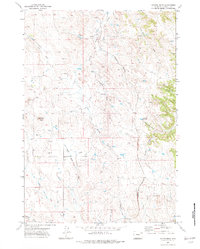
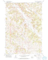
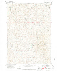
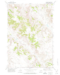
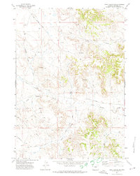
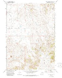
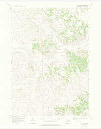
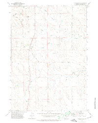
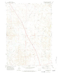
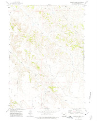
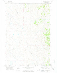
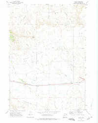
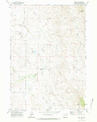
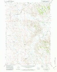
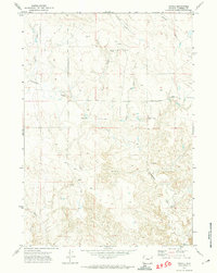
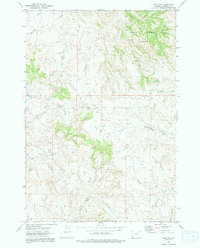
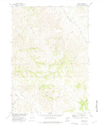
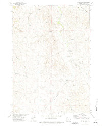
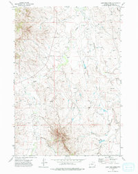
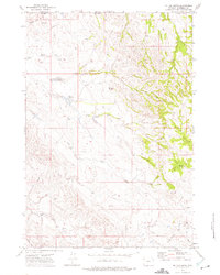
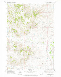
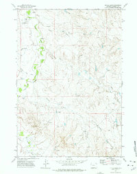
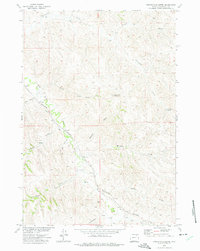
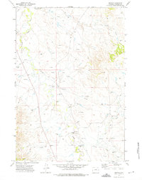
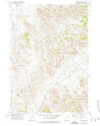
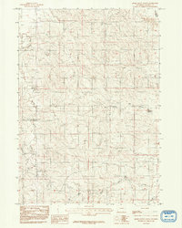
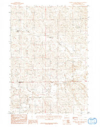
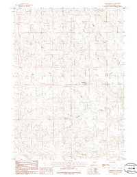
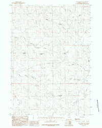
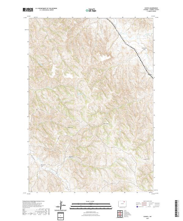
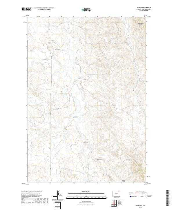
The settlement of Rozet serves as the focal point of this Campbell County landscape, situated along a transportation corridor that includes the Burlington Northern Santa Fe rail line. This high plains environment is defined by an intricate network of drainages and seasonal water sources, including Donkey Cr and Buck Cr. Local ranching and aviation history are evident through features like the Kissack/Reynolds Airport and scattered water management structures such as Nelson Reservoir, Jiggs Reservoir, and Fischer Reservoir. High points like Cradle Butte and Indian Tree Hill provide topographical markers across the rolling terrain. Genealogists and local historians will find value in the location of the Rozet Cem, while the naming of numerous draws, including Preston Draw and Coyote Draw, reflects the local vernacular and family history of the region.
Find a feature on this map
51 named features on this map. Tap any name to fly to it.
Don’t see what you’re looking for? This feature index may not catch every label — zoom into the map to look around manually.
Map Details
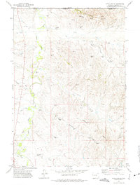
Editions of this 2021 Rozet Map
This is the sole edition of this map. No revisions or reprints were ever made.
Historical Maps of Rozet Through Time
173 maps found
1953 Fats Draw
Campbell County, WY
1953 North Butte
Campbell County, WY
1953 Rolling Pin Ranch
Campbell County, WY
1953 Savageton
Campbell County, WY
1953 South Butte
Campbell County, WY
1954 Artesian Draw
Campbell County, WY
1954 Pine Tree
Campbell County, WY
1959 North Star School
Campbell County, WY
1959 Savageton
Campbell County, WY
1960 Turnercrest
Campbell County, WY
1971 Appel Butte
Campbell County, WY
1971 Black Draw
Campbell County, WY
1971 Bogie Draw
Campbell County, WY
1971 Calf Creek
Campbell County, WY
1971 Coon Track Creek
Campbell County, WY
1971 Corral Creek
Campbell County, WY
1971 Coyote Draw
Campbell County, WY
1971 Dead Horse Lake
Campbell County, WY
1971 Double Tanks
Campbell County, WY

1971 Eagle Rock
Campbell County, WY
1971 Fortin Draw
Campbell County, WY
1971 Four Bar J Ranch
Campbell County, WY
1971 Gillette East
Campbell County, WY
1971 Gillette West
Campbell County, WY
1971 Green Hill
Campbell County, WY
1971 Hilight
Campbell County, WY
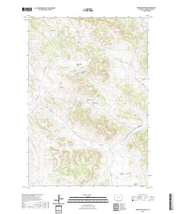
1971 Homestead Draw
Campbell County, WY
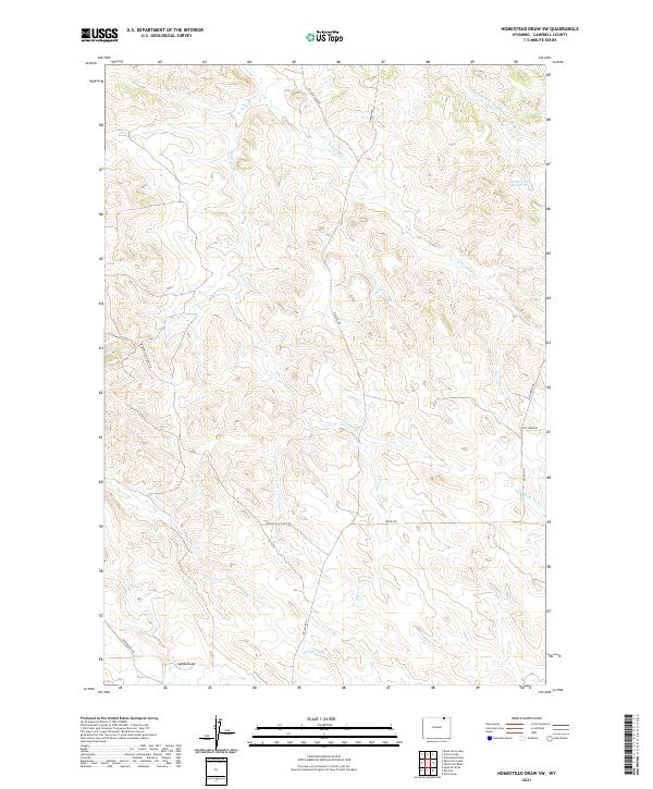
1971 Homestead Draw SW
Campbell County, WY
1971 Kline Draw
Campbell County, WY
1971 Larey Draw
Campbell County, WY
1971 Little Thunder Reservoir
Campbell County, WY
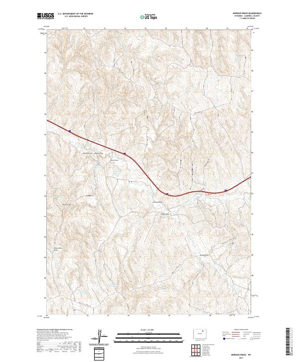
1971 Morgan Draw
Campbell County, WY
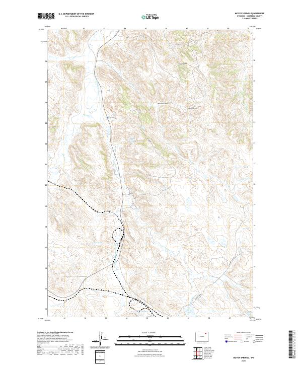
1971 Moyer Springs
Campbell County, WY
1971 Open A Ranch
Campbell County, WY
1971 Oriva
Campbell County, WY
1971 Oriva NW
Campbell County, WY
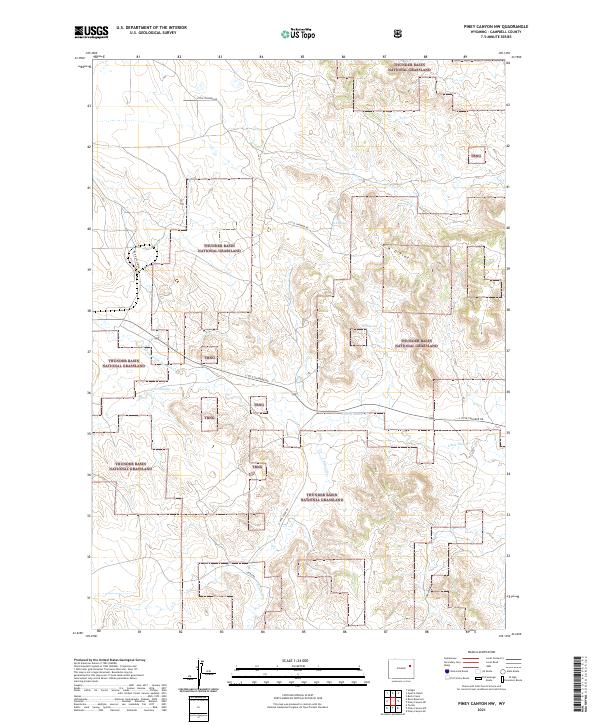
1971 Piney Canyon NW
Campbell County, WY
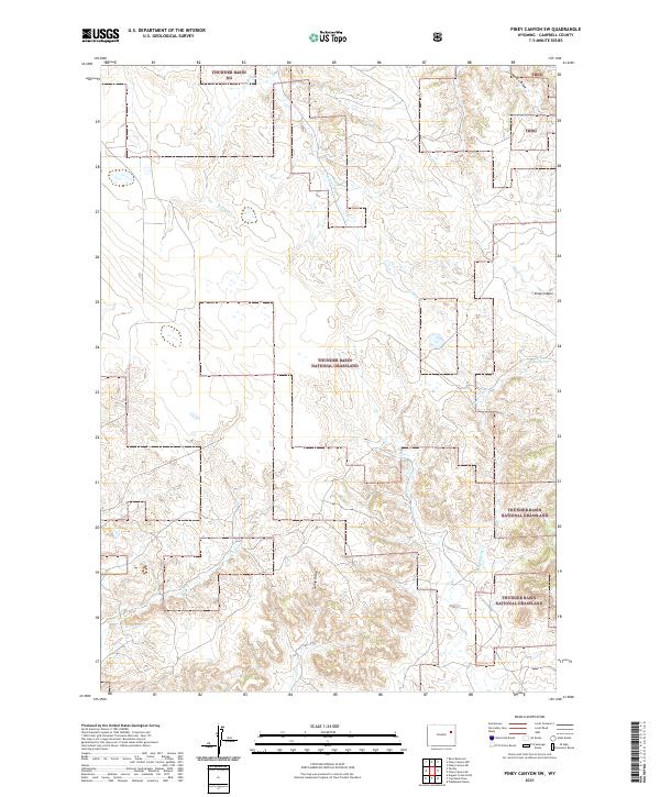
1971 Piney Canyon SW
Campbell County, WY
1971 Pitch Draw
Campbell County, WY
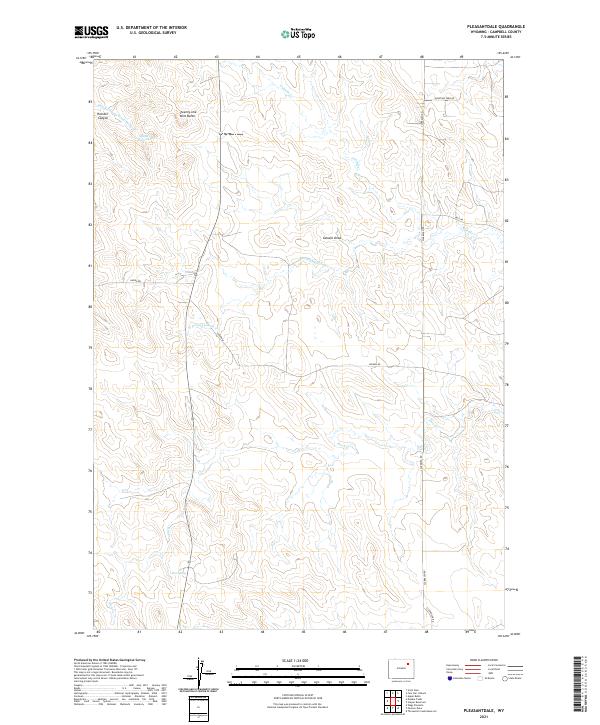
1971 Pleasantdale
Campbell County, WY
1971 Rawhide School
Campbell County, WY
1971 Recluse
Campbell County, WY
1971 Reno Junction
Campbell County, WY
1971 Reno Reservoir
Campbell County, WY
1971 Reservoir Creek
Campbell County, WY
1971 Rough Creek
Campbell County, WY
1971 Rozet
Campbell County, WY
1971 Rozet NW
Campbell County, WY
1971 Saddle Horse Butte
Campbell County, WY
1971 Scaper Reservoir
Campbell County, WY
1971 Scott Dam
Campbell County, WY
1971 Spotted Horse
Campbell County, WY
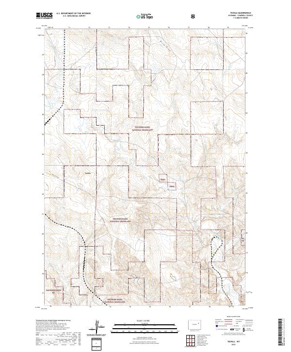
1971 Teckla
Campbell County, WY
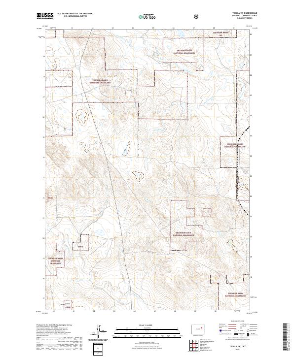
1971 Teckla SW
Campbell County, WY
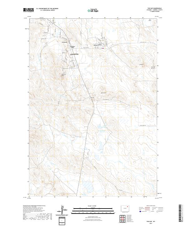
1971 The Gap
Campbell County, WY
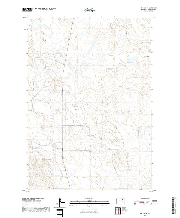
1971 The Gap SW
Campbell County, WY
1971 Truman Draw
Campbell County, WY
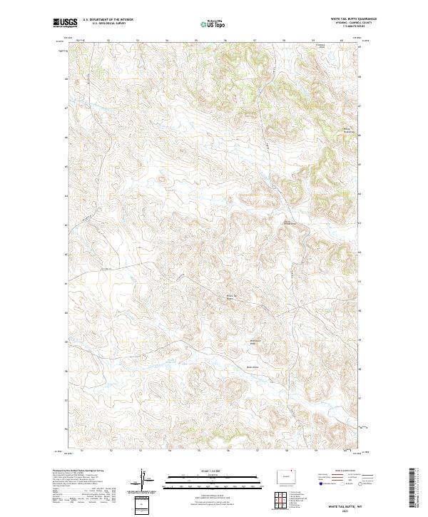
1971 White Tail Butte
Campbell County, WY

1971 Whitetail Creek
Campbell County, WY
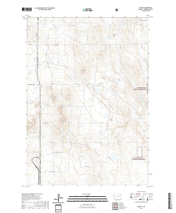
1971 Wildcat
Campbell County, WY
1972 Adon
Campbell County, WY
1972 Adon NW
Campbell County, WY
1972 Bowman Hill
Campbell County, WY
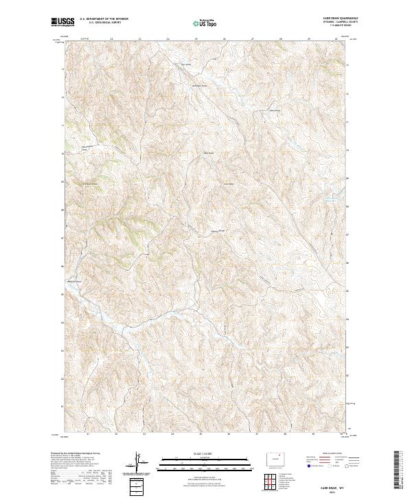
1972 Carr Draw
Campbell County, WY
1972 Croton
Campbell County, WY
1972 Echeta
Campbell County, WY
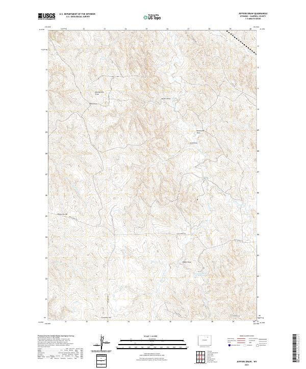
1972 Jeffers Draw
Campbell County, WY
1972 Lone Tree Creek
Campbell County, WY
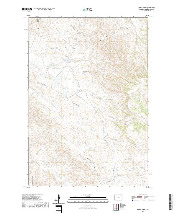
1972 Mitten Butte
Campbell County, WY
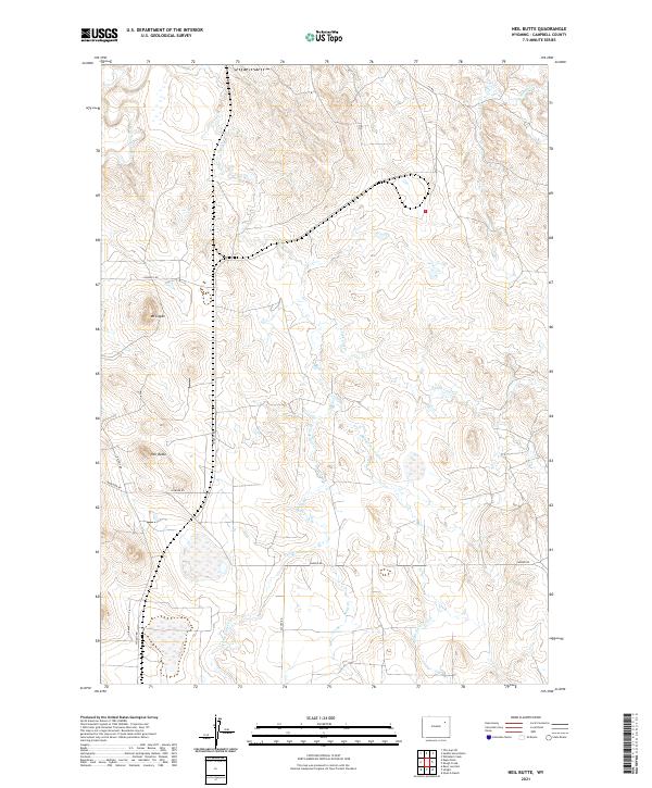
1972 Neil Butte
Campbell County, WY
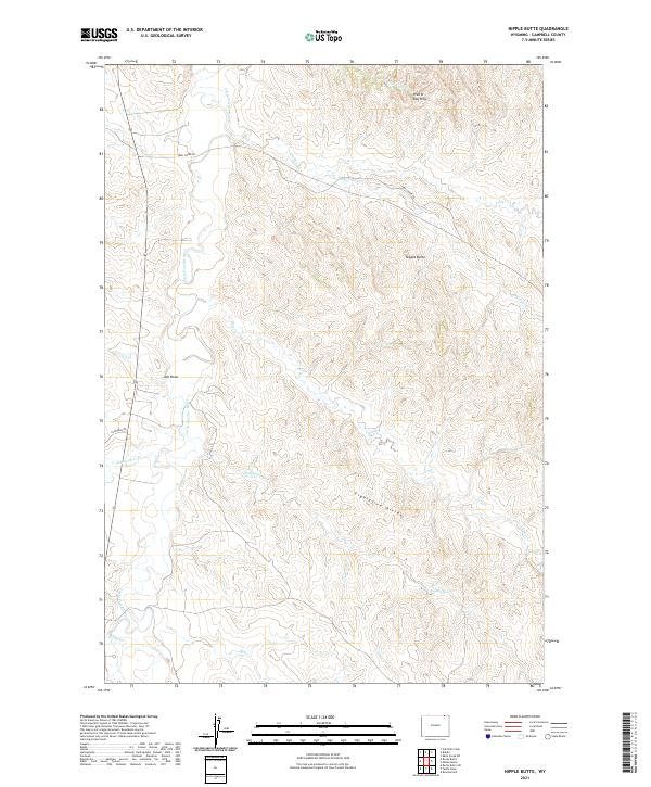
1972 Nipple Butte
Campbell County, WY
1972 Oliver Draw
Campbell County, WY
1972 Rocky Butte
Campbell County, WY
1972 Rocky Butte SW
Campbell County, WY
1972 Tuttle Draw
Campbell County, WY
1972 Twentymile Butte
Campbell County, WY
1972 Weston
Campbell County, WY
1972 Weston SW
Campbell County, WY
1974 Reno Junction
Campbell County, WY
1975 Recluse
Campbell County, WY
1984 Baker Spring
Campbell County, WY
1984 Greasewood Reservoir
Campbell County, WY
1984 Persson Draw
Campbell County, WY
1984 Rattlesnake Draw
Campbell County, WY
1984 Reno Flats
Campbell County, WY
1984 Rocky Butte Gulch
Campbell County, WY
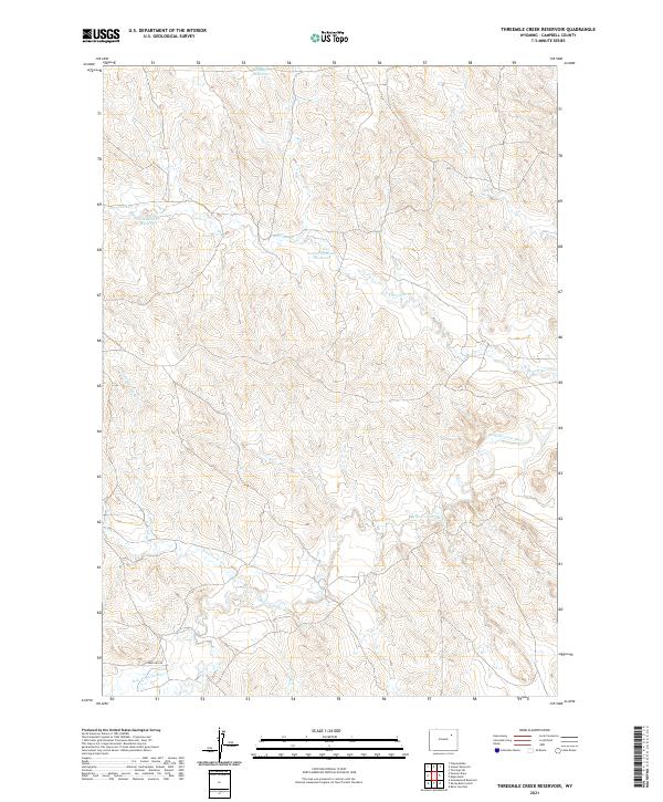
1984 Threemile Creek Reservoir
Campbell County, WY
1984 Turnercrest
Campbell County, WY
1984 Wags Pinnacle
Campbell County, WY
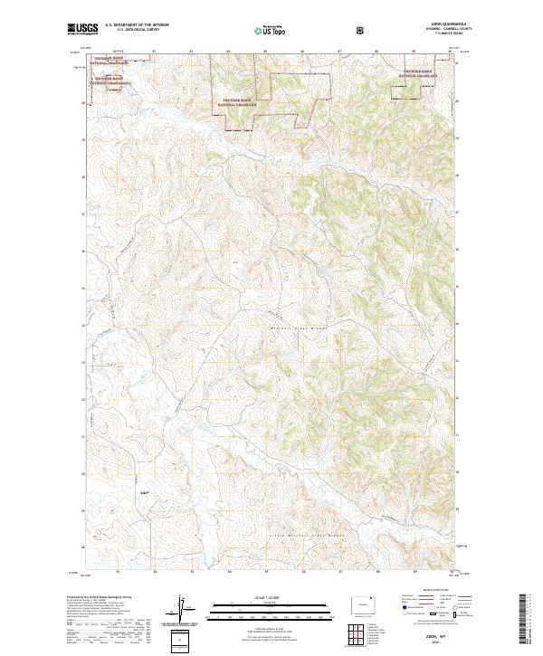
2021 Adon
Campbell County, WY
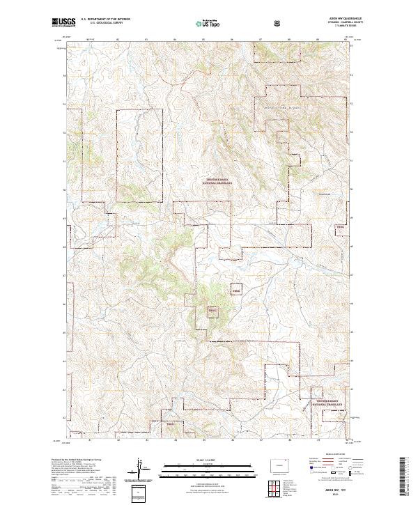
2021 Adon NW
Campbell County, WY
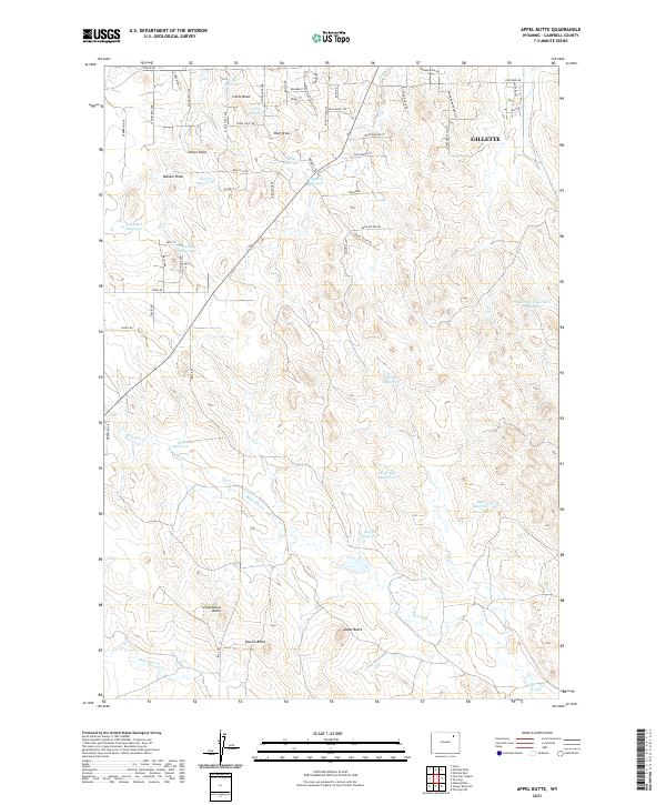
2021 Appel Butte
Campbell County, WY
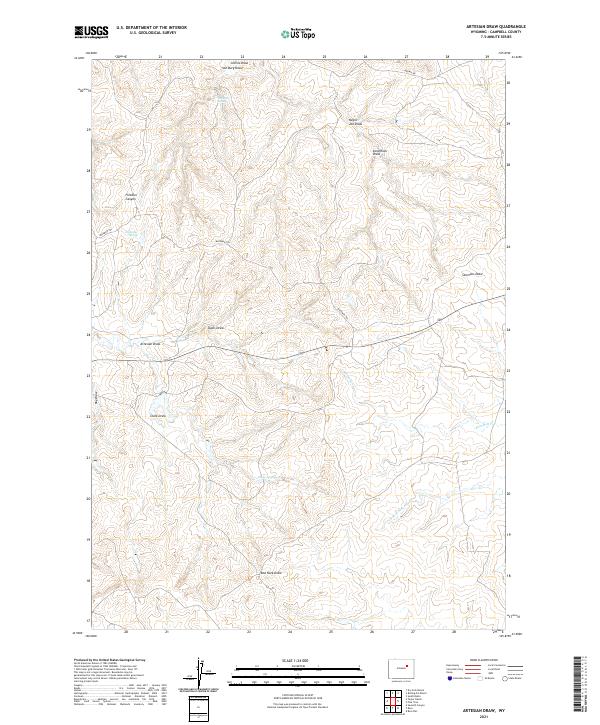
2021 Artesian Draw
Campbell County, WY
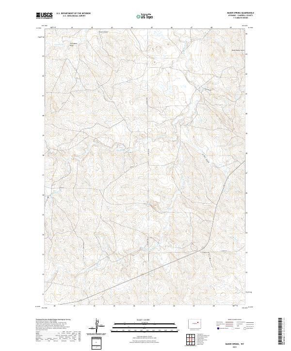
2021 Baker Spring
Campbell County, WY
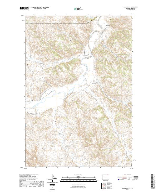
2021 Black Draw
Campbell County, WY
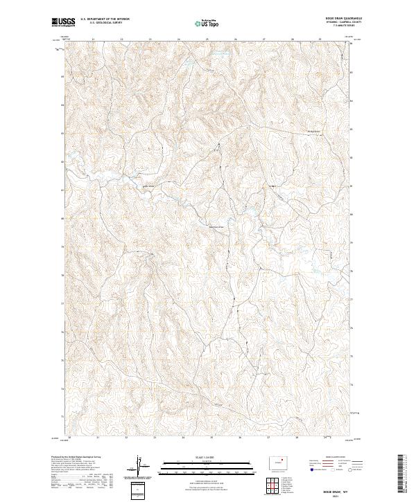
2021 Bogie Draw
Campbell County, WY
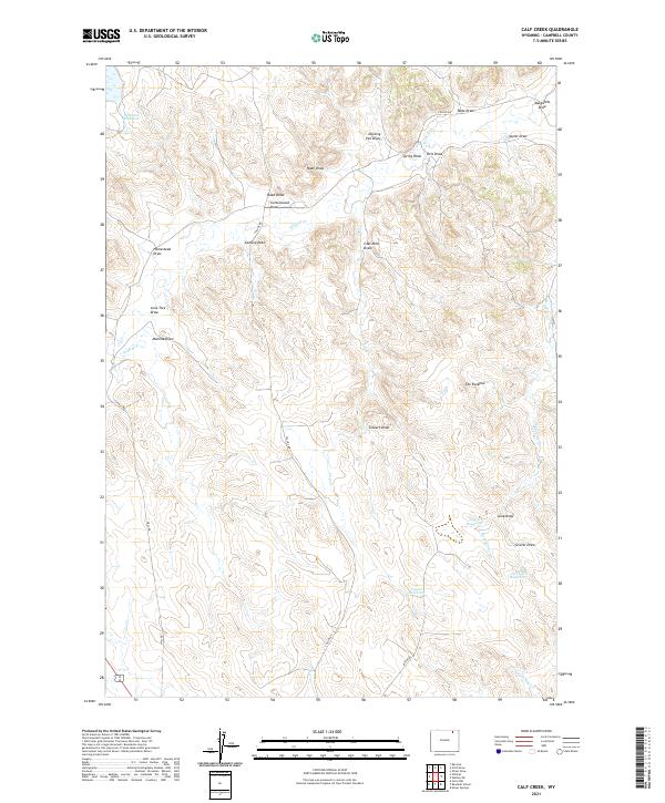
2021 Calf Creek
Campbell County, WY
2021 Carr Draw
Campbell County, WY
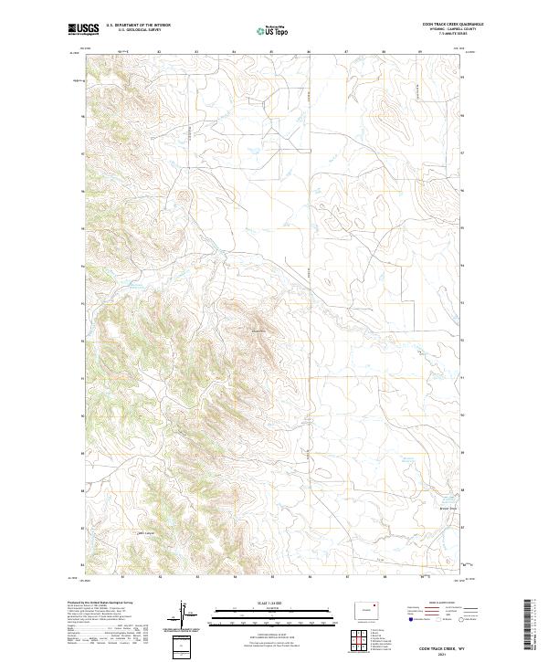
2021 Coon Track Creek
Campbell County, WY
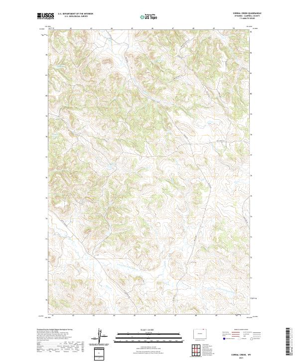
2021 Corral Creek
Campbell County, WY
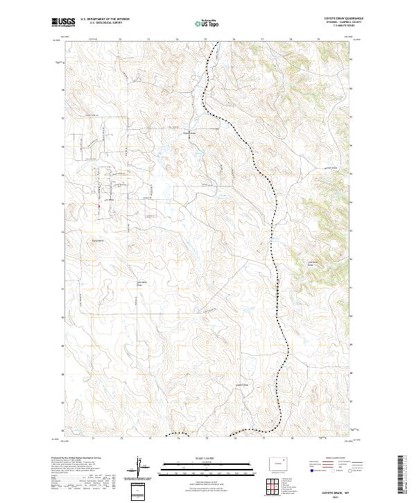
2021 Coyote Draw
Campbell County, WY
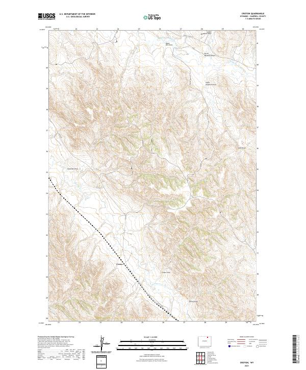
2021 Croton
Campbell County, WY
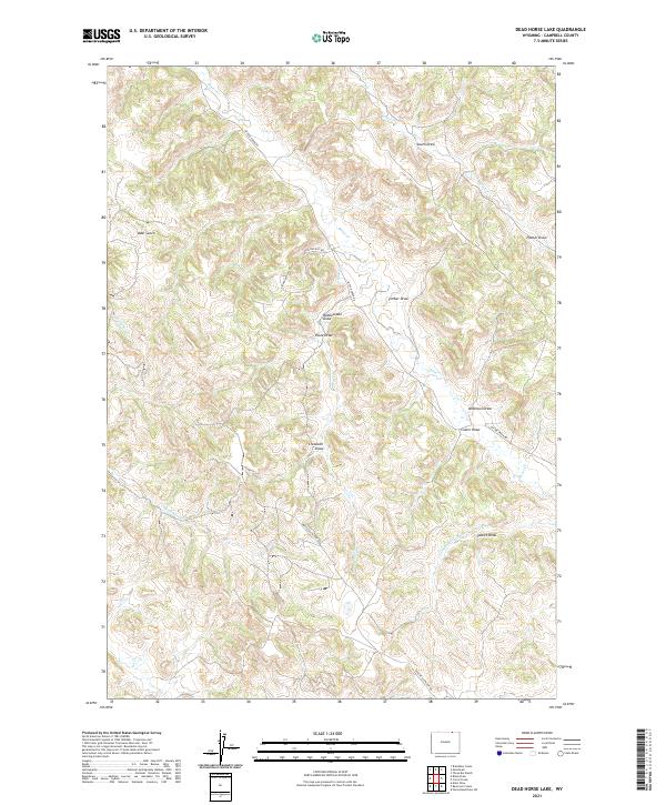
2021 Dead Horse Lake
Campbell County, WY
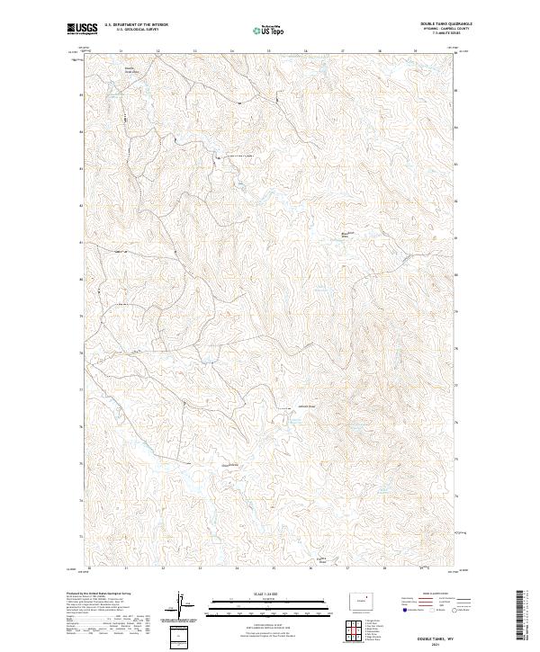
2021 Double Tanks
Campbell County, WY
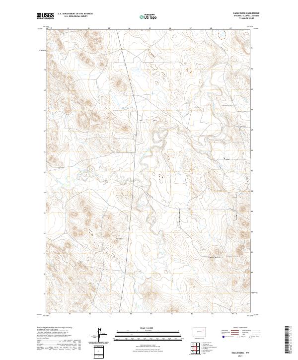
2021 Eagle Rock
Campbell County, WY
2021 Echeta
Campbell County, WY
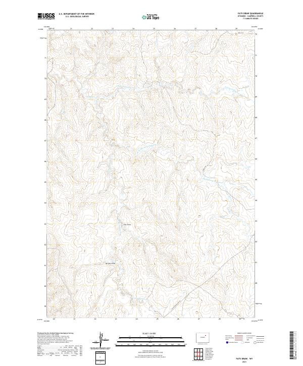
2021 Fats Draw
Campbell County, WY
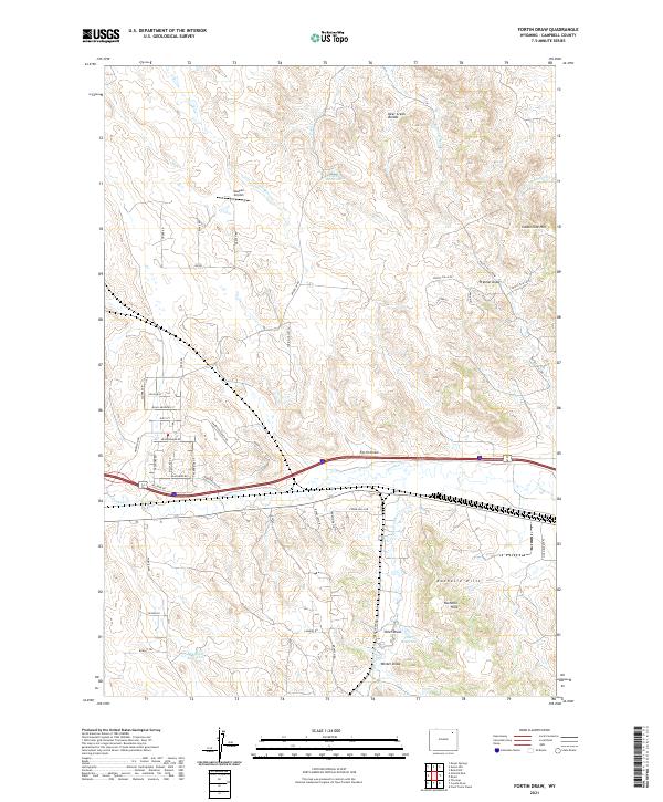
2021 Fortin Draw
Campbell County, WY
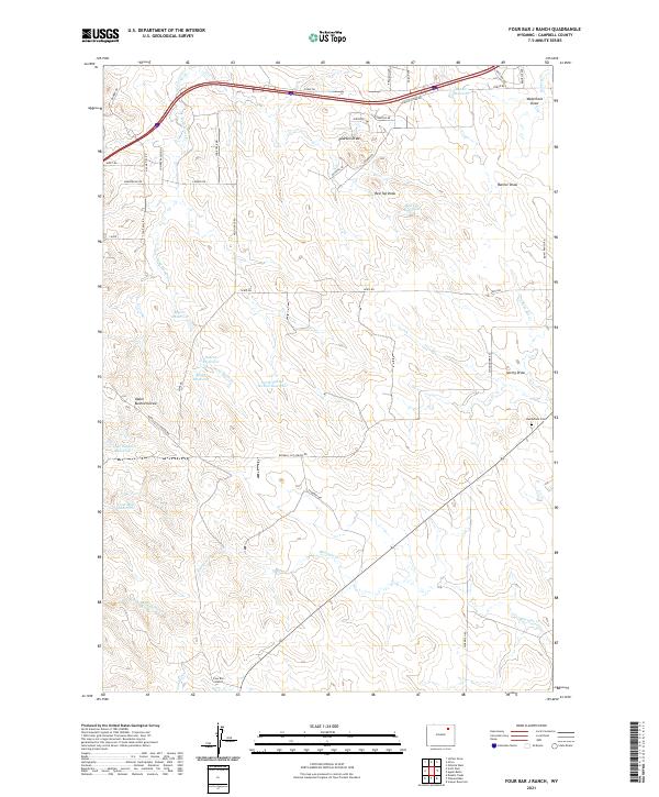
2021 Four Bar J Ranch
Campbell County, WY
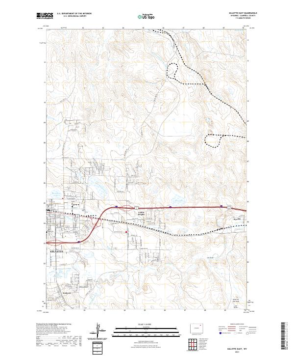
2021 Gillette East
Campbell County, WY
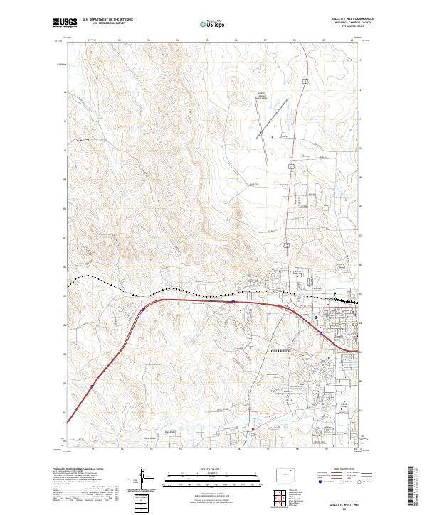
2021 Gillette West
Campbell County, WY
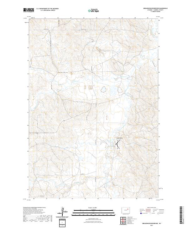
2021 Greasewood Reservoir
Campbell County, WY
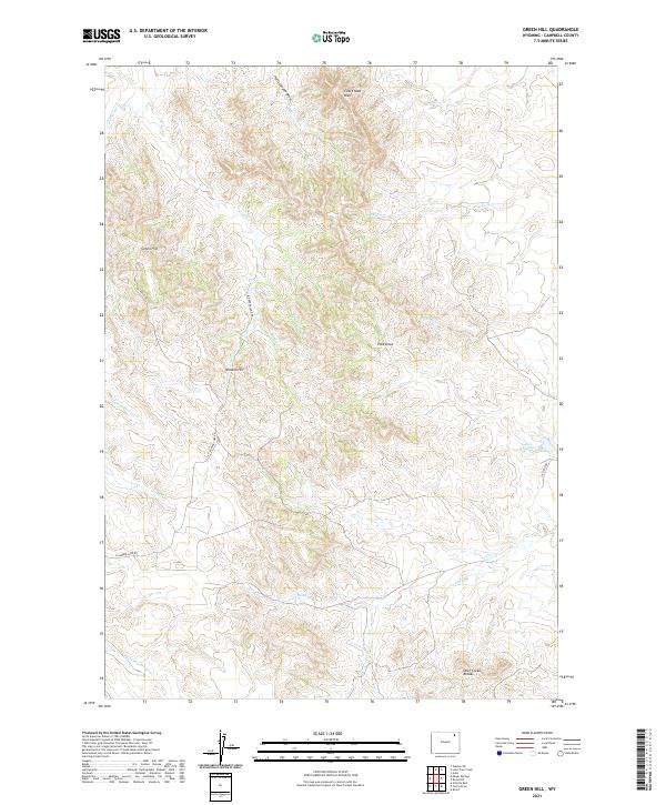
2021 Green Hill
Campbell County, WY
2021 Hilight
Campbell County, WY
2021 Homestead Draw
Campbell County, WY
2021 Homestead Draw SW
Campbell County, WY
2021 Jeffers Draw
Campbell County, WY
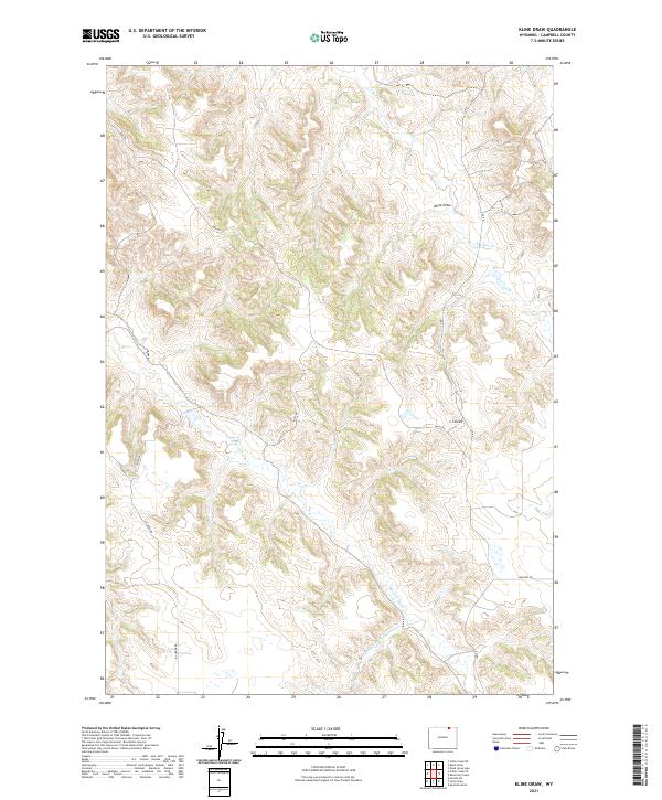
2021 Kline Draw
Campbell County, WY
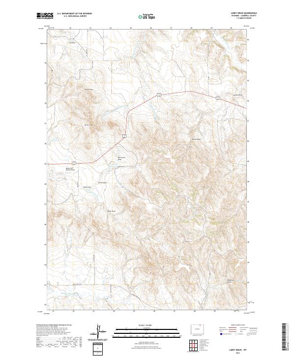
2021 Larey Draw
Campbell County, WY
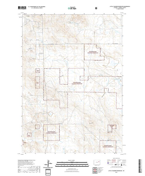
2021 Little Thunder Reservoir
Campbell County, WY
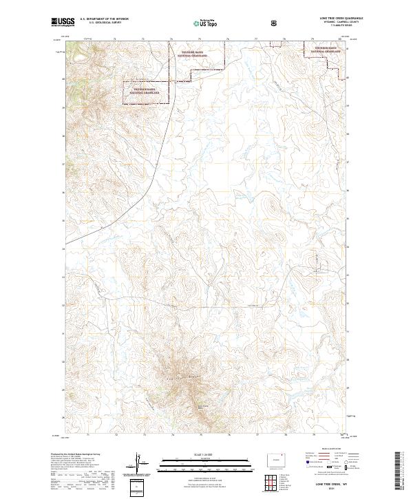
2021 Lone Tree Creek
Campbell County, WY
2021 Mitten Butte
Campbell County, WY
2021 Morgan Draw
Campbell County, WY
2021 Moyer Springs
Campbell County, WY
2021 Neil Butte
Campbell County, WY
2021 Nipple Butte
Campbell County, WY
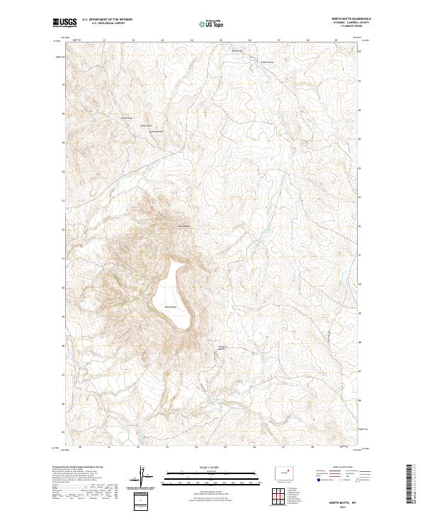
2021 North Butte
Campbell County, WY
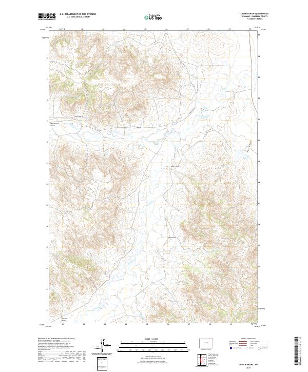
2021 Oliver Draw
Campbell County, WY
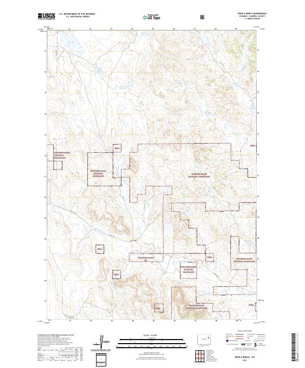
2021 Open A Ranch
Campbell County, WY
2021 Oriva
Campbell County, WY
2021 Oriva NW
Campbell County, WY
2021 Persson Draw
Campbell County, WY
2021 Pine Tree
Campbell County, WY
2021 Piney Canyon NW
Campbell County, WY
2021 Piney Canyon SW
Campbell County, WY
2021 Pleasantdale
Campbell County, WY
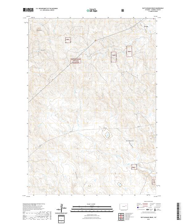
2021 Rattlesnake Draw
Campbell County, WY
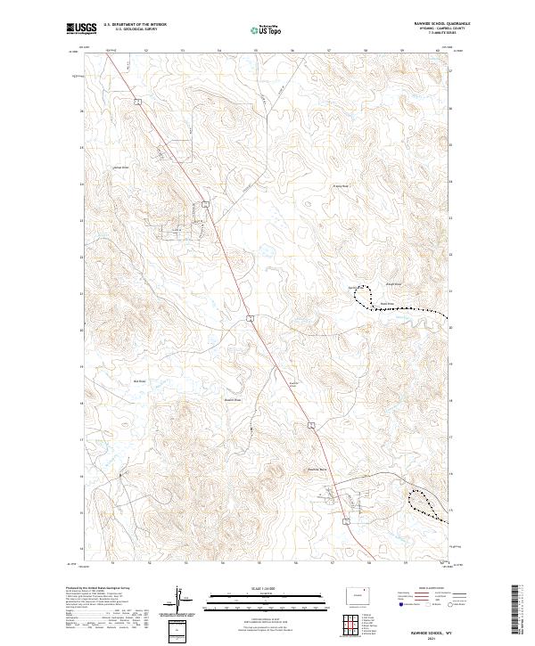
2021 Rawhide School
Campbell County, WY
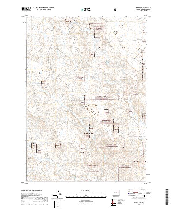
2021 Reno Flats
Campbell County, WY

2021 Reno Junction
Campbell County, WY
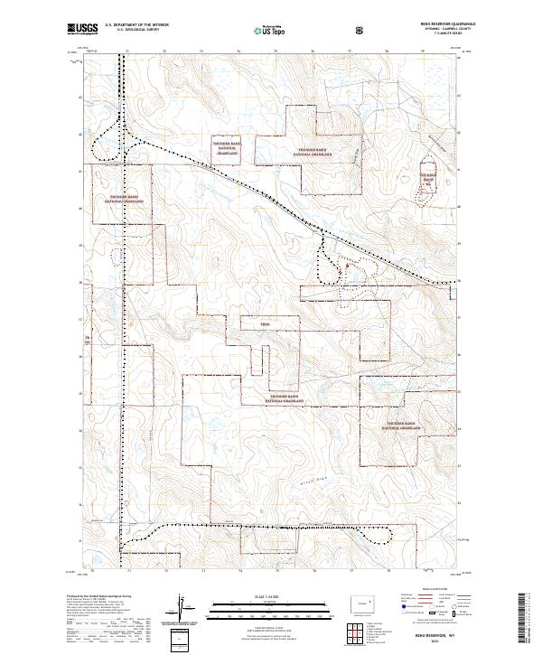
2021 Reno Reservoir
Campbell County, WY
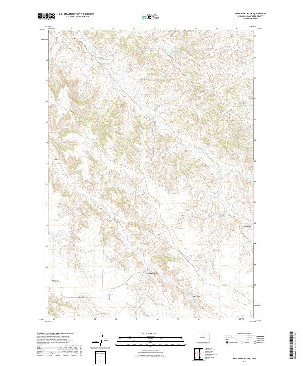
2021 Reservoir Creek
Campbell County, WY
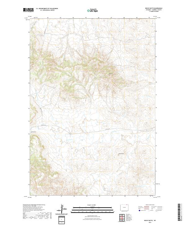
2021 Rocky Butte
Campbell County, WY
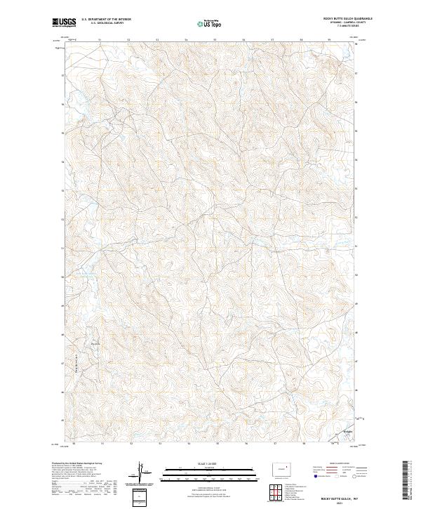
2021 Rocky Butte Gulch
Campbell County, WY
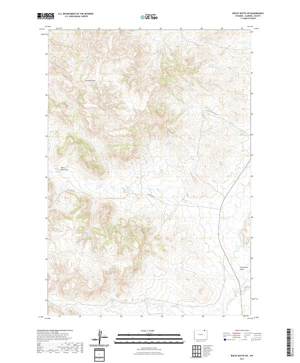
2021 Rocky Butte SW
Campbell County, WY
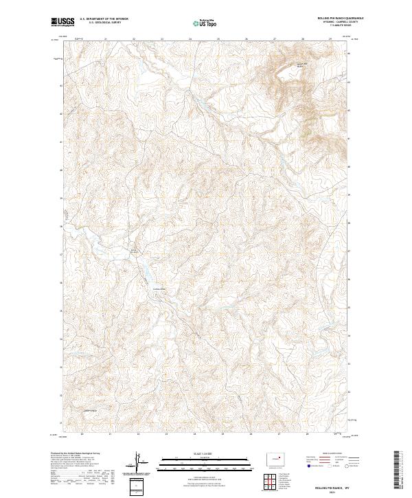
2021 Rolling Pin Ranch
Campbell County, WY
2021 Rough Creek
Campbell County, WY
2021 Rozet
Campbell County, WY
2021 Rozet NW
Campbell County, WY
2021 Saddle Horse Butte
Campbell County, WY
2021 Savageton
Campbell County, WY
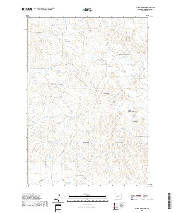
2021 Scaper Reservoir
Campbell County, WY
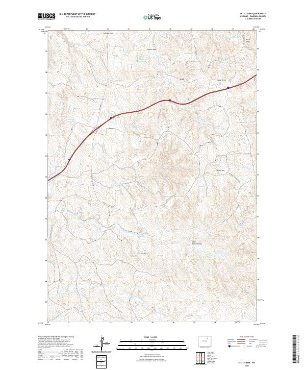
2021 Scott Dam
Campbell County, WY
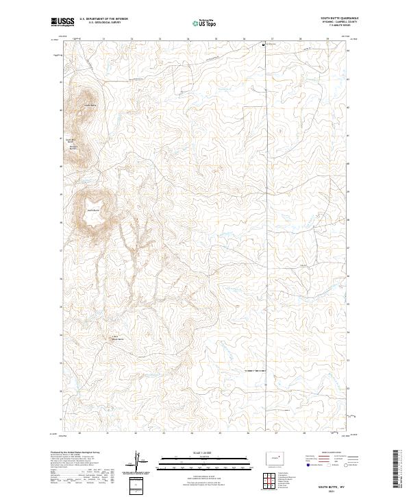
2021 South Butte
Campbell County, WY
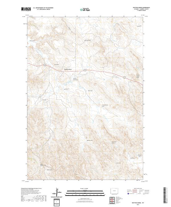
2021 Spotted Horse
Campbell County, WY
2021 Teckla
Campbell County, WY
2021 Teckla SW
Campbell County, WY
2021 The Gap
Campbell County, WY
2021 The Gap SW
Campbell County, WY
2021 Threemile Creek Reservoir
Campbell County, WY
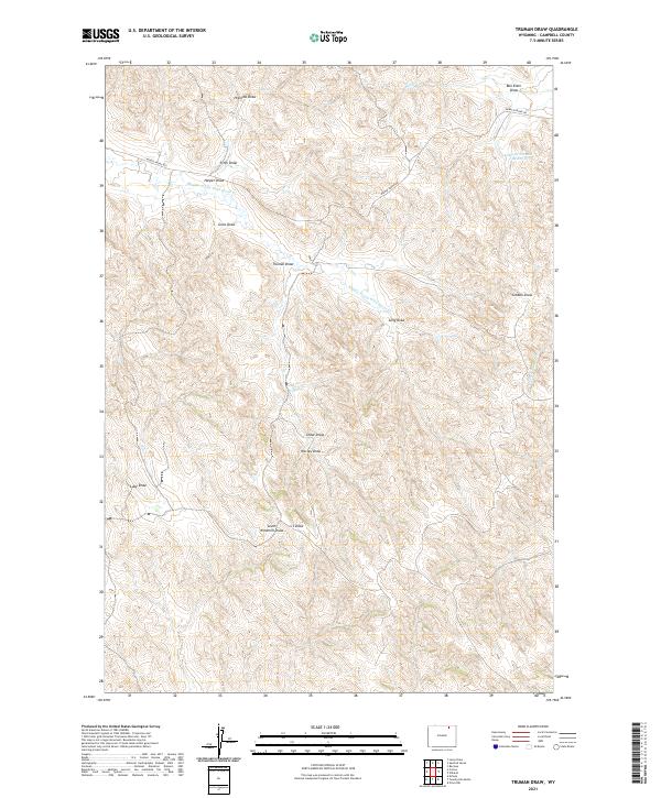
2021 Truman Draw
Campbell County, WY
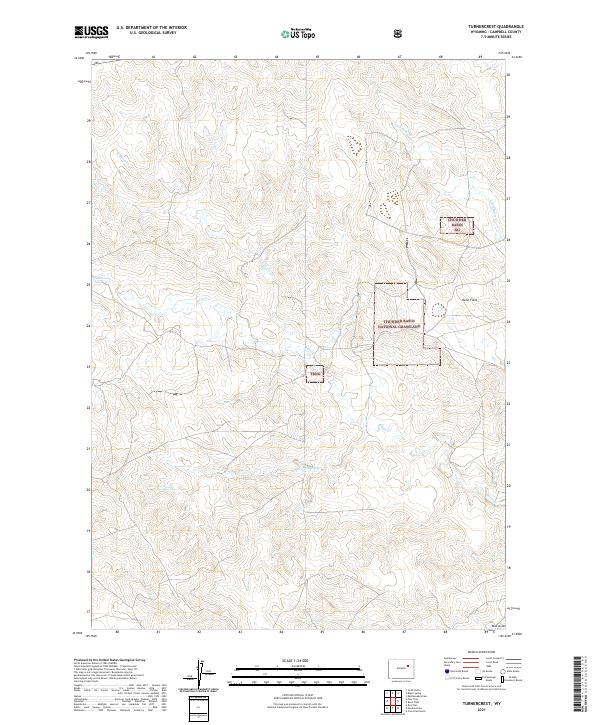
2021 Turnercrest
Campbell County, WY
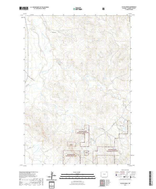
2021 Tuttle Draw
Campbell County, WY
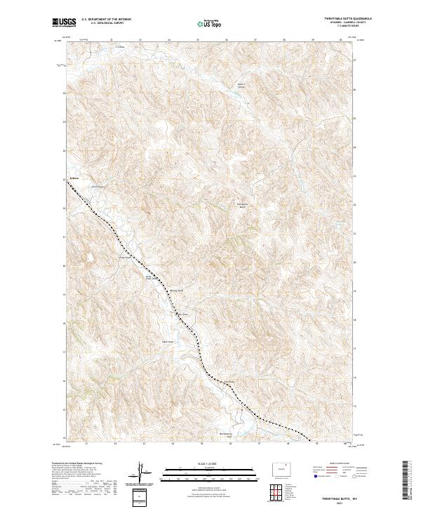
2021 Twentymile Butte
Campbell County, WY
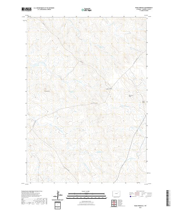
2021 Wags Pinnacle
Campbell County, WY
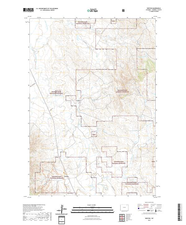
2021 Weston
Campbell County, WY
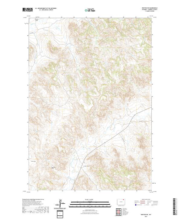
2021 Weston SW
Campbell County, WY
2021 White Tail Butte
Campbell County, WY
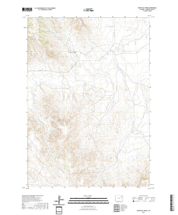
2021 Whitetail Creek
Campbell County, WY
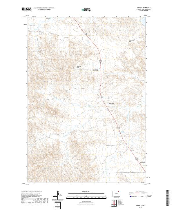
2021 Wildcat
Campbell County, WY
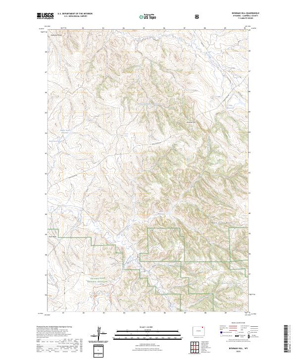
2023 Bowman Hill
Campbell County, WY
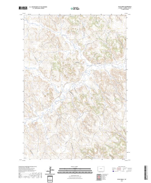
2023 Pitch Draw
Campbell County, WY
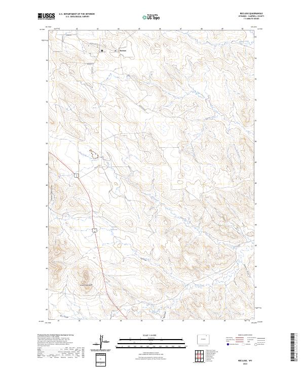
2023 Recluse
Campbell County, WY