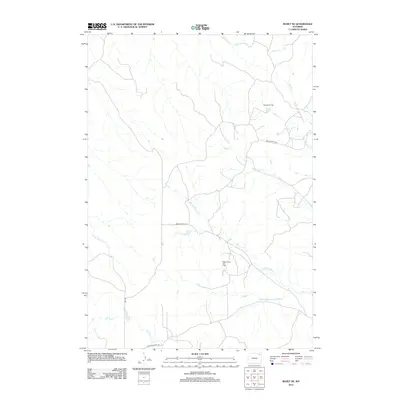
2012 Map of Rozet NE
USGS Topo · Published 2012About this map
The Selmek Oil Field and Miller Creek Oil Field define the industrial landscape of this Campbell County quadrangle, where the energy economy of the early twenty-first century meets a complex network of prairie drainages. The area is characterized by a high density of small access roads supporting oil extraction, weaving between the primary thoroughfares of James Prazma Rd and Miller Creek Rd. The natural hydrology is centered on the extensive Miller Cr system, including its numerous branches such as the W Fork Miller Cr and the uniquely named S Fork West Fork Miller Cr. These seasonal watercourses, alongside Mitchell Cr and Cabin Cr, create a distinct pattern of erosion across the High Plains, providing essential context for understanding the intersection of Wyoming's natural topography and its subterranean resources.
Find a feature on this map
14 named features on this map. Tap any name to fly to it.
Don’t see what you’re looking for? This feature index may not catch every label — zoom into the map to look around manually.
Map Details
Editions of this 2012 Rozet NE Map
This is the sole edition of this map. No revisions or reprints were ever made.
Other maps of this area

1905 · Devils Tower
USGS Topo · 1:125,000

1918 · Moorcroft
USGS Topo · 1:125,000

1918 · Moorcroft
USGS Topo · 1:62,500

1954 · Gillette
USGS Topo · 1:250,000

1955 · Gillette
USGS Topo · 1:250,000

1957 · Moorcroft
USGS Topo · 1:62,500

1957 · Oshoto
USGS Topo · 1:62,500

1958 · Gillette
USGS Topo · 1:250,000

1962 · Gillette
USGS Topo · 1:250,000

1971 · Rozet
USGS Topo · 1:24,000