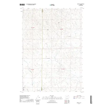
2017 Map of Rozet NE
USGS Topo · Published 2017About this map
Little Pine Ridge rises above a complex network of seasonal drainages along the Campbell and Crook County border. This high plains landscape is defined by its watershed geography, where the headwaters of Miller Creek and its many branches, including the W Fork Miller Cr and the S Fork W Fork Miller Cr, carve through the terrain. The map reveals a transition from the deeper incisions of Wolf Draw and Coyote Draw in the north to the broader expanse near Wheat Draw in the south. Transportation in this ranching country follows these natural contours, with routes like Grey Dillinger Rd and Grey Simpson Rd providing access across the range. The concentration of named draws and creek forks indicates the critical importance of water management and landform navigation in this northeastern Wyoming corridor.
Find a feature on this map
21 named features on this map. Tap any name to fly to it.
Don’t see what you’re looking for? This feature index may not catch every label — zoom into the map to look around manually.
Map Details
Editions of this 2017 Rozet NE Map
This is the sole edition of this map. No revisions or reprints were ever made.
Other maps of this area

1905 · Devils Tower
USGS Topo · 1:125,000

1918 · Moorcroft
USGS Topo · 1:125,000

1918 · Moorcroft
USGS Topo · 1:62,500

1954 · Gillette
USGS Topo · 1:250,000

1955 · Gillette
USGS Topo · 1:250,000

1957 · Moorcroft
USGS Topo · 1:62,500

1957 · Oshoto
USGS Topo · 1:62,500

1958 · Gillette
USGS Topo · 1:250,000

1962 · Gillette
USGS Topo · 1:250,000

1971 · Rozet
USGS Topo · 1:24,000