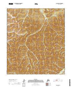
2019 Map of Ruby A-5 SW
USGS Topo · Published 2019About this map
The Ruby-Poorman Road (Extension) cuts through the northern reaches of this Alaskan interior landscape, providing a rare human-made corridor through a region defined by its complex drainage systems. Water dictates the geography here, as numerous creeks including Tenderfoot Cr, Duncan Cr, and Poorman Cr navigate the undulating terrain of the Yukon-Koyukuk Census Area. These waterways eventually feed toward the S Fork Sulatna River, which anchors the southeastern corner of the quadrangle.
Find a feature on this map
13 named features on this map. Tap any name to fly to it.
Don’t see what you’re looking for? This feature index may not catch every label — zoom into the map to look around manually.
Map Details
Editions of this 2019 Ruby A-5 SW Map
This is the sole edition of this map. No revisions or reprints were ever made.
Other maps of this area

1950 · Medfra
USGS Topo · 1:250,000

1951 · Ruby
USGS Topo · 1:250,000

1952 · Ruby A-5
USGS Topo · 1:63,360

1952 · Ruby A-6
USGS Topo · 1:63,360

1952 · Ruby
USGS Topo · 1:250,000

1954 · Medfra D-5
USGS Topo · 1:63,360

1954 · Medfra D-6
USGS Topo · 1:63,360

1959 · Medfra
USGS Topo · 1:250,000

1964 · Ruby
USGS Topo · 1:250,000
2019 · Medfra D-6 NE
USGS Topo · 1:25,000