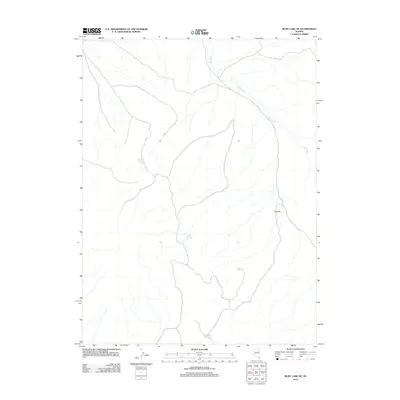
2012 Map of Ruby Lake NE
USGS Topo · Published 2012About this map
Gardner Spring and several other groundwater sources anchor this arid high-desert landscape in Elko County during the early 21st century. The map reveals a drainage network dominated by Ruby Wash, which snakes through the northern and eastern portions of the quadrangle. For those tracking the movement of water and history through this terrain, the concentration of named watering points like Willow Springs, Cherry Spring, and Maverick Springs suggests the critical importance of these isolated reliable locations for ranching or travel. Rising above the basin floor, Red Hill stands as a prominent topographical landmark in an area otherwise defined by subtle elevation changes and seasonal watercourses. This U.S. Geological Survey representation provides a clear view of the land as it existed in 2012, highlighting the sparse but vital landmarks of the Nevada desert.
Find a feature on this map
6 named features on this map. Tap any name to fly to it.
Don’t see what you’re looking for? This feature index may not catch every label — zoom into the map to look around manually.
Map Details
Editions of this 2012 Ruby Lake NE Map
This is the sole edition of this map. No revisions or reprints were ever made.
Other maps of this area

1955 · Elko
USGS Topo · 1:250,000

1958 · Elko
USGS Topo · 1:250,000

1962 · Elko
USGS Topo · 1:250,000

1965 · Elko
USGS Topo · 1:250,000

1968 · Franklin Lake SE
USGS Topo · 1:24,000

1968 · Franklin Lake SW
USGS Topo · 1:24,000
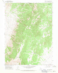
1968 · Ruby Lake SE
USGS Topo · 1:24,000
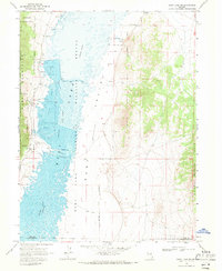
1968 · Ruby Lake NW
USGS Topo · 1:24,000

1968 · Ruby Lake NE
USGS Topo · 1:24,000
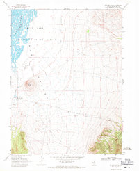
1969 · Station Butte
USGS Topo · 1:24,000