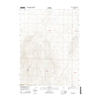
2014 Map of Ruby Lake NE
USGS Topo · Published 2014About this map
The Maverick Springs Range dominates this portion of the Great Basin, a landscape defined by its vital and intermittent water sources. In a region where moisture dictates survival, the map documents several critical points including Maverick Springs, Gardner Spring, and Cherry Spring. These labels represent essential geography for understanding historical land use and livestock movement in this part of Nevada. The drainages of Ruby Wash cut through the high desert terrain, while landmarks like Red Hill provide orientation across the townships of t27n r59e and t26n r59e. This survey captures the remote character of the boundary between Elko Co and White Pine Co, showing a terrain largely untouched by modern infrastructure and still reliant on its natural hydrology.
Find a feature on this map
12 named features on this map. Tap any name to fly to it.
Don’t see what you’re looking for? This feature index may not catch every label — zoom into the map to look around manually.
Map Details
Editions of this 2014 Ruby Lake NE Map
This is the sole edition of this map. No revisions or reprints were ever made.
Other maps of this area

1955 · Elko
USGS Topo · 1:250,000

1958 · Elko
USGS Topo · 1:250,000

1962 · Elko
USGS Topo · 1:250,000

1965 · Elko
USGS Topo · 1:250,000

1968 · Franklin Lake SE
USGS Topo · 1:24,000

1968 · Franklin Lake SW
USGS Topo · 1:24,000
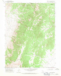
1968 · Ruby Lake SE
USGS Topo · 1:24,000
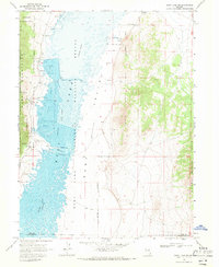
1968 · Ruby Lake NW
USGS Topo · 1:24,000

1968 · Ruby Lake NE
USGS Topo · 1:24,000
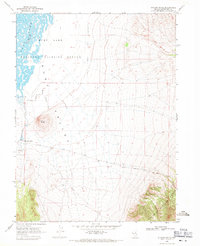
1969 · Station Butte
USGS Topo · 1:24,000