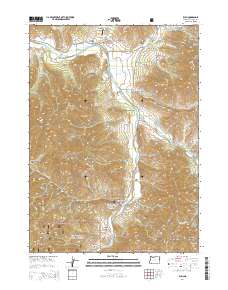
2014 Map of Ruch
USGS Topo · Published 2014About this map
Ruch and McKee Bridge anchor this portion of the Applegate Valley, where the Applegate River carves a path through the southern Oregon landscape. This 2014 survey documents the complex water management infrastructure of the region, specifically noted by the presence of China Ditch and Swayne Ditch, which trace the contours of the steep gulches. The terrain is defined by prominent peaks including Negro Ben Mtn, Mt Baldy, and Squires Peak, much of which falls within the protected boundaries of the Rogue River National Forest.
Find a feature on this map
81 named features on this map. Tap any name to fly to it.
Don’t see what you’re looking for? This feature index may not catch every label — zoom into the map to look around manually.
Map Details
Editions of this 2014 Ruch Map
This is the sole edition of this map. No revisions or reprints were ever made.
Other maps of this area

1891 · Ashland
USGS Topo · 1:250,000

1893 · Ashland
USGS Topo · 1:250,000

1897 · Ashland
USGS Topo · 1:250,000

1908 · Grants Pass
USGS Topo · 1:125,000

1938 · Medford
USGS Topo · 1:125,000

1954 · Medford
USGS Topo · 1:62,500

1954 · Gold Hill
USGS Topo · 1:62,500

1954 · Talent
USGS Topo · 1:62,500

1954 · Ruch
USGS Topo · 1:62,500

1955 · Medford
USGS Topo · 1:250,000