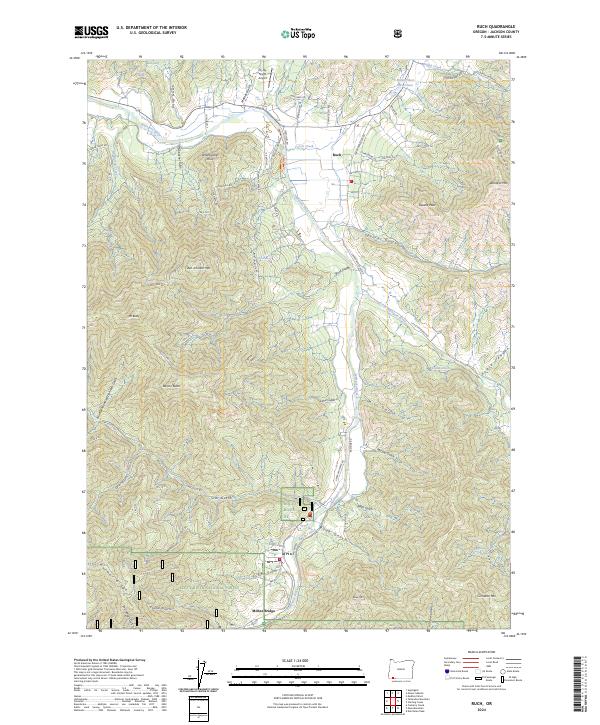
2024 Map of Ruch
USGS Topo · Published 2024About this map
The Applegate River defines the central corridor of this Jackson County survey, where the valley floor transitions into the heights of the Rogue River National Forest. Settlement is concentrated at the crossroads of Ruch and south at McKee Bridge, areas where the landscape's early engineering is still visible through extensive irrigation features. The presence of the China Ditch and Swayne Ditch reflects the area's legacy of hydraulic management for mining or agriculture, cutting across the steep drainages of Star Gulch and Lime Gulch.
Find a feature on this map
77 named features on this map. Tap any name to fly to it.
Don’t see what you’re looking for? This feature index may not catch every label — zoom into the map to look around manually.
Map Details
Editions of this 2024 Ruch Map
This is the sole edition of this map. No revisions or reprints were ever made.
Other maps of this area

1891 · Ashland
USGS Topo · 1:250,000

1893 · Ashland
USGS Topo · 1:250,000

1897 · Ashland
USGS Topo · 1:250,000

1908 · Grants Pass
USGS Topo · 1:125,000

1938 · Medford
USGS Topo · 1:125,000

1954 · Medford
USGS Topo · 1:62,500

1954 · Gold Hill
USGS Topo · 1:62,500

1954 · Talent
USGS Topo · 1:62,500

1954 · Ruch
USGS Topo · 1:62,500

1955 · Medford
USGS Topo · 1:250,000