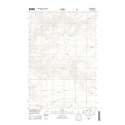
2014 Map of Rudo
USGS Topo · Published 2014About this map
Orofino Cr and Jim Ford Cr carve through this Clearwater County landscape, creating a network of deep drainages that define local movement. The small community of Fraser Grange sits in the southern portion of the map near the Fraser Cem, serving as a focal point for researchers interested in the settlement history of the region. Higher elevations are marked by the Alternader Basin and various named ridges accessed via Harmony Hts and Cascade Dr.
Find a feature on this map
31 named features on this map. Tap any name to fly to it.
Don’t see what you’re looking for? This feature index may not catch every label — zoom into the map to look around manually.
Map Details
Editions of this 2014 Rudo Map
This is the sole edition of this map. No revisions or reprints were ever made.
Other maps of this area

1923 · Washington Creek
USGS Topo · 1:125,000

1924 · Kamiah
USGS Topo · 1:125,000

1924 · Weippe
USGS Topo · 1:125,000

1938 · Headquarters
USGS Topo · 1:48,000

1944 · Headquarters
USGS Topo · 1:62,500

1955 · Pullman
USGS Topo · 1:250,000

1956 · Hamilton
USGS Topo · 1:250,000

1958 · Pullman
USGS Topo · 1:250,000

1959 · Hamilton
USGS Topo · 1:250,000

1960 · Hamilton
USGS Topo · 1:250,000