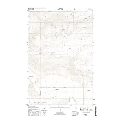
2017 Map of Rudo
USGS Topo · Published 2017About this map
Rudo sits as the primary named settlement in this pocket of Clearwater County, marking a landscape defined by sharp elevation shifts and drainage networks. The drainage of Cedar Cr carves through the northern reaches of the area, illustrating the rugged terrain of northern Idaho's timber and canyon country. This 2017 survey by the U.S. Geological Survey captures the modern road network and topographic contouring of a region where human activity is sparse and dictated by the natural flow of the creek systems and mountain ridges. The map is a vital resource for understanding the contemporary geography of this remote section of the state, focusing on the essential landmarks and water features that ground the local environment.
Find a feature on this map
2 named features on this map. Tap any name to fly to it.
Don’t see what you’re looking for? This feature index may not catch every label — zoom into the map to look around manually.
Map Details
Editions of this 2017 Rudo Map
This is the sole edition of this map. No revisions or reprints were ever made.
Other maps of this area

1923 · Washington Creek
USGS Topo · 1:125,000

1924 · Kamiah
USGS Topo · 1:125,000

1924 · Weippe
USGS Topo · 1:125,000

1938 · Headquarters
USGS Topo · 1:48,000

1944 · Headquarters
USGS Topo · 1:62,500

1955 · Pullman
USGS Topo · 1:250,000

1956 · Hamilton
USGS Topo · 1:250,000

1958 · Pullman
USGS Topo · 1:250,000

1959 · Hamilton
USGS Topo · 1:250,000

1960 · Hamilton
USGS Topo · 1:250,000