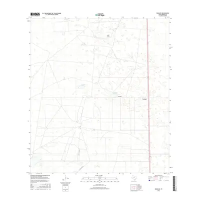
2016 Map of Rudolph
USGS Topo · Published 2016About this map
Rudolph and Divisadero sit within an expansive landscape of coastal South Texas, characterized by its subtle relief and vital seasonal water sources. The area is defined by shallow basins known as badías, including La Badia de Pitoso and La Badia del Divisadero, which serve as critical landmarks in this predominantly flat terrain. These features, along with the slight elevation of Loma Prieta, indicate the complex hydrology and ranching heritage of Kenedy County. Transportation across this portion of the coastal plain is facilitated by a network of rural routes such as Vazzetti Ranch Rd, Garcia Ranch Rd, and Cr 4084. The placement of Rudolph along the primary north-south corridor reflects the historical importance of rail and road infrastructure in connecting these isolated ranching outposts.
Find a feature on this map
8 named features on this map. Tap any name to fly to it.
Don’t see what you’re looking for? This feature index may not catch every label — zoom into the map to look around manually.
Map Details
Editions of this 2016 Rudolph Map
This is the sole edition of this map. No revisions or reprints were ever made.
Other maps of this area

1921 · Tarida Ranch
USGS Topo · 1:62,500

1922 · La Sal Vieja
USGS Topo · 1:62,500

1923 · Armstrong
USGS Topo · 1:62,500

1923 · Saltillo Ranch
USGS Topo · 1:62,500

1953 · Brownsville
USGS Topo · 1:250,000

1956 · Julian
USGS Topo · 1:24,000

1956 · Saltillo Well
USGS Topo · 1:24,000

1956 · Rudolph
USGS Topo · 1:24,000

1956 · Andrea Ranch
USGS Topo · 1:24,000

1956 · Rosita Lake
USGS Topo · 1:24,000