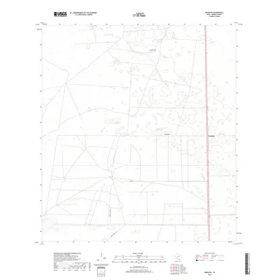
2019 Map of Rudolph
USGS Topo · Published 2019About this map
Rudolph lies along the primary transit corridor of south Texas, serving as a distinct waypoint in the coastal plains of Kenedy County. The landscape is defined by the ephemeral presence of water, with basins like La Badia de Pitoso and La Badia del Divisadero dotting the brushland. These ephemeral wetlands, along with the elevation at Loma Prieta, characterize the low-relief terrain typical of this ranching country. The settlement of Divisadero is situated further inland, connected by a network of ranch-access roads including Vazzetti Ranch Rd and Garcia Ranch Rd. This 2019 survey documents the enduring ranching boundaries and the infrastructure of U.S. Route 77, which remains the lifeline for these isolated South Texas communities.
Find a feature on this map
9 named features on this map. Tap any name to fly to it.
Don’t see what you’re looking for? This feature index may not catch every label — zoom into the map to look around manually.
Map Details
Editions of this 2019 Rudolph Map
This is the sole edition of this map. No revisions or reprints were ever made.
Other maps of this area

1921 · Tarida Ranch
USGS Topo · 1:62,500

1922 · La Sal Vieja
USGS Topo · 1:62,500

1923 · Armstrong
USGS Topo · 1:62,500

1923 · Saltillo Ranch
USGS Topo · 1:62,500

1953 · Brownsville
USGS Topo · 1:250,000

1956 · Julian
USGS Topo · 1:24,000

1956 · Saltillo Well
USGS Topo · 1:24,000

1956 · Rudolph
USGS Topo · 1:24,000

1956 · Andrea Ranch
USGS Topo · 1:24,000

1956 · Rosita Lake
USGS Topo · 1:24,000