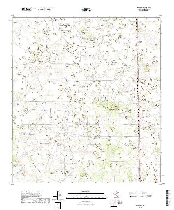
2022 Map of Rudolph
USGS Topo · Published 2022About this map
Rudolph serves as the primary landmark on this South Texas coastal plain, where the landscape is defined by vast rangelands and seasonal water bodies. The geography of Kenedy County is characterized by shallow depressions and basins such as La Badia de Pitoso and La Badia del Divisadero, reflecting a terrain shaped by wind and intermittent drainage. Nearby, Loma Prieta provides a point of elevation in an otherwise low-lying environment. The area is intersected by long-established routes including Vazzetti Ranch Rd and Garcia Ranch Rd, which connect the small settlement at Divisadero to the larger regional ranching network. This survey illustrates the sparse, large-acreage land use typical of this portion of the Wild Horse Desert, where infrastructure is concentrated along the north-south transit corridor.
Find a feature on this map
8 named features on this map. Tap any name to fly to it.
Don’t see what you’re looking for? This feature index may not catch every label — zoom into the map to look around manually.
Map Details
Editions of this 2022 Rudolph Map
This is the sole edition of this map. No revisions or reprints were ever made.
Other maps of this area

1921 · Tarida Ranch
USGS Topo · 1:62,500

1922 · La Sal Vieja
USGS Topo · 1:62,500

1923 · Armstrong
USGS Topo · 1:62,500

1923 · Saltillo Ranch
USGS Topo · 1:62,500

1953 · Brownsville
USGS Topo · 1:250,000

1956 · Julian
USGS Topo · 1:24,000

1956 · Saltillo Well
USGS Topo · 1:24,000

1956 · Rudolph
USGS Topo · 1:24,000

1956 · Andrea Ranch
USGS Topo · 1:24,000

1956 · Rosita Lake
USGS Topo · 1:24,000