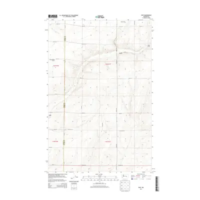
2013 Map of Ruff
USGS Topo · Published 2013About this map
Agricultural patterns and deep coulee formations define this corner of the Columbia Basin in the early 21st century. The settlement of Ruff sits at a low point in the west, while the hamlet of Moody occupies the northeastern reaches of the map. These small communities are connected by a rigid grid of gravel and section-line roads, including W Rehn Rd and N Moody Rd, which contrast sharply with the winding natural drainage of Sand Coulee and Rocky Coulee. The boundary between Grant Co and Adams Co bisects the landscape, where the dry terrain of the Big Bend region is marked by the distinct Rocky Branch Coulee. This map documents a quiet, productive landscape where modern county infrastructure overlays the ancient geological scars of the Channeled Scablands.
Find a feature on this map
38 named features on this map. Tap any name to fly to it.
Don’t see what you’re looking for? This feature index may not catch every label — zoom into the map to look around manually.
Map Details
Editions of this 2013 Ruff Map
This is the sole edition of this map. No revisions or reprints were ever made.
Other maps of this area

1923 · Wheeler
USGS Topo · 1:62,500

1925 · Wheeler
USGS Topo · 1:62,500

1925 · Schrag
USGS Topo · 1:62,500

1953 · Ritzville
USGS Topo · 1:250,000
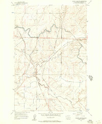
1956 · Bassett Junction
USGS Topo · 1:24,000

1956 · Wheeler NE
USGS Topo · 1:24,000

1956 · Wilson Creek SE
USGS Topo · 1:24,000

1956 · Wilson Creek
USGS Topo · 1:62,500
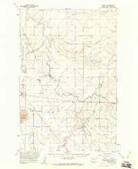
1956 · Wheeler
USGS Topo · 1:62,500

1959 · Ritzville
USGS Topo · 1:250,000