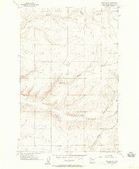
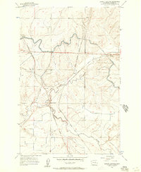
1956 Map of Wheeler NE
USGS Topo · Published 1957About this map
Schultz Memorial Cem sits on the high ground of the Washington-Grant Co. line, overlooking a landscape defined by the drainage patterns of the Columbia Basin. The small settlement of Ruff is situated in the southeastern portion of the map, serving as a focal point for the local agricultural community. The terrain is deeply incised by significant coulees, including Sand Coulee in the north and the prominent Rocky Coulee to the south. These geographic features, along with Rocky Branch, illustrate the erosion-carved basalt landscape characteristic of this region.
Find a feature on this map
9 named features on this map. Tap any name to fly to it.
Don’t see what you’re looking for? This feature index may not catch every label — zoom into the map to look around manually.
Map Details
Editions of this 1956 Wheeler NE Map
2 editions found

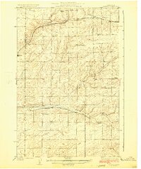
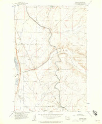
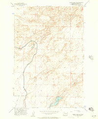
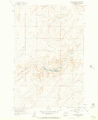
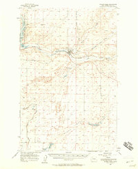
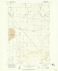
Other maps of this area

1923 · Wheeler
USGS Topo · 1:62,500

1925 · Wheeler
USGS Topo · 1:62,500
1925 · Schrag
USGS Topo · 1:62,500

1953 · Ritzville
USGS Topo · 1:250,000
1956 · Wheeler
USGS Topo · 1:24,000
1956 · Wilson Creek SW
USGS Topo · 1:24,000
1956 · Bassett Junction
USGS Topo · 1:24,000
1956 · Wilson Creek SE
USGS Topo · 1:24,000
1956 · Wilson Creek
USGS Topo · 1:62,500
1956 · Sieler
USGS Topo · 1:24,000