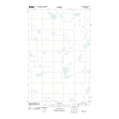
2011 Map of Rugby NW
USGS Topo · Published 2011About this map
Glacial prairie potholes define the landscape northwest of Rugby, where numerous wetlands and named water bodies like Goose Lake and Soap Lake dominate the terrain. This rural expanse in Pierce County is organized by a precise grid of section lines and gravel roads, including 34th Ave NE and 71st St NE. The presence of Herd Lake and Spring Lake in the northern reaches suggests the importance of these natural depressions for local drainage and habitat. Near the southern edge of the quadrangle, the transition from agricultural fields to more concentrated infrastructure is marked by Industrial Rd and Western Ave, indicating the fringe of the regional hub's development as it appeared in the early 21st century.
Find a feature on this map
20 named features on this map. Tap any name to fly to it.
Don’t see what you’re looking for? This feature index may not catch every label — zoom into the map to look around manually.
Map Details
Editions of this 2011 Rugby NW Map
This is the sole edition of this map. No revisions or reprints were ever made.
Other maps of this area

1953 · Devils Lake
USGS Topo · 1:250,000

1954 · Tunbridge
USGS Topo · 1:24,000

1954 · Overly SE
USGS Topo · 1:24,000

1954 · Rugby NW
USGS Topo · 1:24,000

1954 · Leverich
USGS Topo · 1:24,000

1954 · Minot
USGS Topo · 1:250,000

1955 · Rugby
USGS Topo · 1:24,000

1955 · Rolette SW
USGS Topo · 1:24,000

1956 · Devils Lake
USGS Topo · 1:250,000

1958 · Minot
USGS Topo · 1:250,000