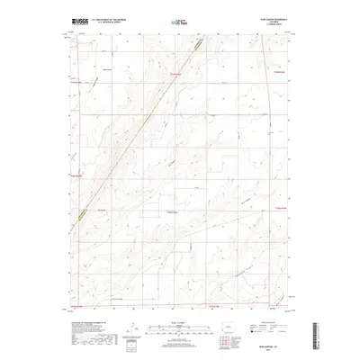
2019 Map of Ruin Canyon
USGS Topo · Published 2019About this map
Sylvan Cem sits on the high plateau of Montezuma County, marking a localized pocket of history amidst a landscape defined by deep, eroded drainages. The terrain is characterized by intricate canyon systems, including the namesake Ruin Canyon and the expansive Hovenweep Canyon, which carve through the land towards the southwest. The presence of Cross Canyon Spring and routes like Grandpa's Trl suggest a long-standing reliance on specific water sources and established paths through this complex geography. The boundary between Dolores and Montezuma counties cuts diagonally across the northwestern portion of the map, separating areas like Squaw Point and The Island. This network of canyons, from Cow Canyon to Papoose Canyon, illustrates the high-desert topography typical of the Four Corners region, where early ranching and rural routes follow the contours of the mesa tops.
Find a feature on this map
33 named features on this map. Tap any name to fly to it.
Don’t see what you’re looking for? This feature index may not catch every label — zoom into the map to look around manually.
Map Details
Editions of this 2019 Ruin Canyon Map
This is the sole edition of this map. No revisions or reprints were ever made.
Other maps of this area

1886 · Abajo
USGS Topo · 1:250,000

1892 · Abajo
USGS Topo · 1:250,000

1893 · Abajo
USGS Topo · 1:250,000

1956 · Cortez
USGS Topo · 1:250,000

1957 · Moqui NW
USGS Topo · 1:24,000

1957 · Cedar 3 NW
USGS Topo · 1:24,000

1957 · Aneth 1 NE
USGS Topo · 1:24,000

1957 · Cedar 3 SW
USGS Topo · 1:24,000

1957 · Monument Canyon
USGS Topo · 1:62,500
1958 · Verdure 4 NE
USGS Topo · 1:24,000