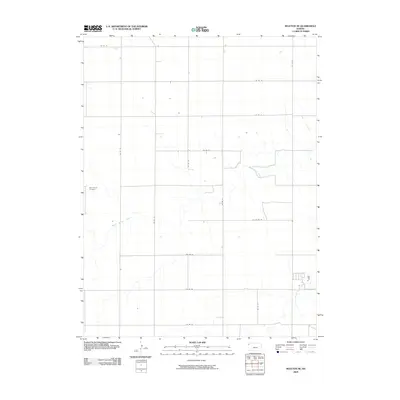
2009 Map of Ruleton NE
USGS Topo · Published 2009About this map
New Liberty Cemetery stands as a quiet landmark in the northwest corner of this Western Kansas landscape, reflecting the rural social fabric of Logan Township. This high plains terrain is defined by the winding paths of Middle Beaver Creek and South Beaver Creek, which snake eastward across the township. The map illustrates a strictly organized section-line road system, with routes such as Co RD 75 and Co RD 13 forming a rigid grid that dictates the movement and settlement patterns of this agricultural region. This 2009 survey highlights the relationship between the natural drainages of the Beaver Creek system and the human-imposed geometry of the Kansas prairie, providing a clear record of land use and rural infrastructure at the start of the 21st century.
Find a feature on this map
17 named features on this map. Tap any name to fly to it.
Don’t see what you’re looking for? This feature index may not catch every label — zoom into the map to look around manually.
Map Details
Editions of this 2009 Ruleton NE Map
This is the sole edition of this map. No revisions or reprints were ever made.
Other maps of this area

1951 · Bird City South
USGS Topo · 1:62,500

1952 · St Francis 3
USGS Topo · 1:62,500

1954 · Goodland
USGS Topo · 1:250,000

1956 · Goodland
USGS Topo · 1:250,000

1957 · Goodland
USGS Topo · 1:250,000

1966 · Goodland NW
USGS Topo · 1:24,000

1966 · Goodland
USGS Topo · 1:24,000

1966 · Ruleton NW
USGS Topo · 1:24,000

1966 · Ruleton NE
USGS Topo · 1:24,000

1966 · Ruleton
USGS Topo · 1:24,000