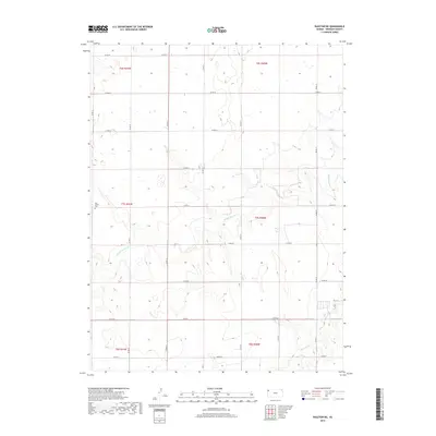
2018 Map of Ruleton NE
USGS Topo · Published 2018About this map
New Liberty Cem sits on the western edge of this High Plains landscape in Sherman County, marking a site of local genealogical significance. The terrain is defined by the winding paths of Middle Beaver Cr and S Beaver Cr, which cut through the open country. A rigid grid of section lines and county roads, including Co RD 75 and Co RD 67, organizes the rural space into the distinct townships of t6s r41w, t7s r40w, and t8s r41w. This late 2010s survey reflects the enduring agricultural layout of western Kansas, where the sparse placement of homesteads and watercourses dictates the local geography and transport patterns.
Find a feature on this map
25 named features on this map. Tap any name to fly to it.
Don’t see what you’re looking for? This feature index may not catch every label — zoom into the map to look around manually.
Map Details
Editions of this 2018 Ruleton NE Map
This is the sole edition of this map. No revisions or reprints were ever made.
Other maps of this area

1951 · Bird City South
USGS Topo · 1:62,500

1952 · St Francis 3
USGS Topo · 1:62,500

1954 · Goodland
USGS Topo · 1:250,000

1956 · Goodland
USGS Topo · 1:250,000

1957 · Goodland
USGS Topo · 1:250,000

1966 · Goodland NW
USGS Topo · 1:24,000

1966 · Goodland
USGS Topo · 1:24,000

1966 · Ruleton NW
USGS Topo · 1:24,000

1966 · Ruleton NE
USGS Topo · 1:24,000

1966 · Ruleton
USGS Topo · 1:24,000