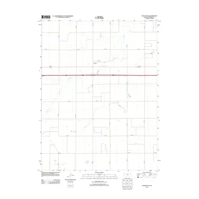
2012 Map of Ruleton SE
USGS Topo · Published 2012About this map
Caruso stands as the primary settlement node in this high plains landscape of western Kansas, situated within a section-line grid that defines the regional geography. The terrain is subtly etched by the drainage of S Beaver Cr and the Middle Fork Sappa Cr, watercourses that dictate the few breaks in the systematic agricultural layout. This 2012 survey illustrates a modern rural infrastructure where named thoroughfares like Co Rd 65 and Road 62 provide the essential connectivity between scattered farmsteads and the Interstate 70 corridor. The arrangement of these roads, including Road 60 and Road 59, reflects a century-long commitment to the rectangular survey system, showing how the landscape has been organized for large-scale dryland farming and ranching.
Find a feature on this map
13 named features on this map. Tap any name to fly to it.
Don’t see what you’re looking for? This feature index may not catch every label — zoom into the map to look around manually.
Map Details
Editions of this 2012 Ruleton SE Map
This is the sole edition of this map. No revisions or reprints were ever made.
Other maps of this area

1954 · Goodland
USGS Topo · 1:250,000

1956 · Goodland
USGS Topo · 1:250,000

1957 · Goodland
USGS Topo · 1:250,000

1959 · Harris Draw
USGS Topo · 1:62,500

1959 · Horsethief Draw
USGS Topo · 1:62,500

1966 · Goodland NW
USGS Topo · 1:24,000

1966 · Goodland
USGS Topo · 1:24,000

1966 · Ruleton NW
USGS Topo · 1:24,000

1966 · Ruleton NE
USGS Topo · 1:24,000

1966 · Ruleton
USGS Topo · 1:24,000