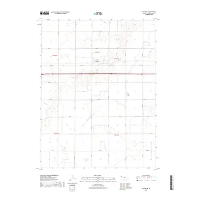
2018 Map of Ruleton SE
USGS Topo · Published 2018About this map
Goodland and the smaller settlement of Caruso anchor the northern landscape of this High Plains survey, positioned along the historic transit corridor of Old US Hwy 24. The terrain is defined by the ephemeral drainages of the S Beaver Cr and the Middle Fork Sappa Cr, which carve subtle paths through the rectilinear grid of section lines and county roads. This arrangement of the land reflects a strictly organized agricultural economy, where thoroughfares like Co Rd 65 and Co Rd 62 form a geometric network across the townships. The interface between these established routes and the natural riparian breaks illustrates the persistent influence of water drainage patterns on the development and placement of human settlements in the Sherman County region.
Find a feature on this map
16 named features on this map. Tap any name to fly to it.
Don’t see what you’re looking for? This feature index may not catch every label — zoom into the map to look around manually.
Map Details
Editions of this 2018 Ruleton SE Map
This is the sole edition of this map. No revisions or reprints were ever made.
Other maps of this area

1954 · Goodland
USGS Topo · 1:250,000

1956 · Goodland
USGS Topo · 1:250,000

1957 · Goodland
USGS Topo · 1:250,000

1959 · Harris Draw
USGS Topo · 1:62,500

1959 · Horsethief Draw
USGS Topo · 1:62,500

1966 · Goodland NW
USGS Topo · 1:24,000

1966 · Goodland
USGS Topo · 1:24,000

1966 · Ruleton NW
USGS Topo · 1:24,000

1966 · Ruleton NE
USGS Topo · 1:24,000

1966 · Ruleton
USGS Topo · 1:24,000