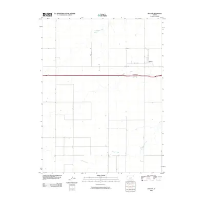
2009 Map of Ruleton
USGS Topo · Published 2009About this map
Ruleton sits as the primary point of settlement in this High Plains landscape of western Kansas, positioned along Ruleton Ave just north of the major transportation corridors. The map reveals a transition in regional travel, showing the path of I 70 running parallel to the older route of Old US Hwy 24. This spatial arrangement underscores how modern interstate development bypassed or integrated with existing local networks. The terrain is defined by the subtle drainage patterns of Middle Beaver Creek in the north and South Beaver Creek in the southern portion of the quadrangle. These waterways provide a natural contrast to the rigid grid of county roads, such as Co RD 7 and Co RD 6, which organize the surrounding agricultural land.
Find a feature on this map
14 named features on this map. Tap any name to fly to it.
Don’t see what you’re looking for? This feature index may not catch every label — zoom into the map to look around manually.
Map Details
Editions of this 2009 Ruleton Map
This is the sole edition of this map. No revisions or reprints were ever made.
Other maps of this area

1954 · Limon
USGS Topo · 1:250,000

1954 · Goodland
USGS Topo · 1:250,000

1956 · Goodland
USGS Topo · 1:250,000

1957 · Limon
USGS Topo · 1:250,000

1957 · Goodland
USGS Topo · 1:250,000

1958 · Limon
USGS Topo · 1:250,000

1959 · Horsethief Draw
USGS Topo · 1:62,500

1966 · Ruleton NW
USGS Topo · 1:24,000

1966 · Ruleton NE
USGS Topo · 1:24,000

1966 · Ruleton
USGS Topo · 1:24,000