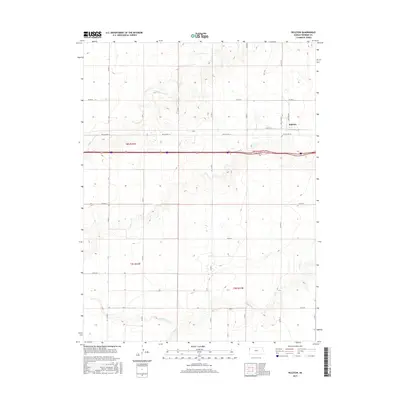
2015 Map of Ruleton
USGS Topo · Published 2015About this map
Ruleton sits along the high plains of Sherman County, where the transition from traditional section roads to modern infrastructure is clearly visible. This survey documents a landscape defined by its agricultural grid and intermittent watercourses, including the westward-flowing Middle Beaver Cr and S Beaver Cr in the southern sections. The map reveals the historical corridor of Old US Hwy 24, which runs parallel to the newer interstate through the township boundaries of t8s r42w and t8s r41w. For local historians and researchers, the detailed platting of rural routes like Ruleton Ave and the drainage patterns of Sappa Cr provide a specific look at land use and water management in this part of western Kansas during the early twenty-first century.
Find a feature on this map
23 named features on this map. Tap any name to fly to it.
Don’t see what you’re looking for? This feature index may not catch every label — zoom into the map to look around manually.
Map Details
Editions of this 2015 Ruleton Map
This is the sole edition of this map. No revisions or reprints were ever made.
Other maps of this area

1954 · Limon
USGS Topo · 1:250,000

1954 · Goodland
USGS Topo · 1:250,000

1956 · Goodland
USGS Topo · 1:250,000

1957 · Limon
USGS Topo · 1:250,000

1957 · Goodland
USGS Topo · 1:250,000

1958 · Limon
USGS Topo · 1:250,000

1959 · Horsethief Draw
USGS Topo · 1:62,500

1966 · Ruleton NW
USGS Topo · 1:24,000

1966 · Ruleton NE
USGS Topo · 1:24,000

1966 · Ruleton
USGS Topo · 1:24,000