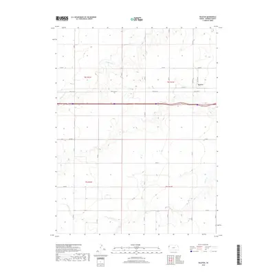
2018 Map of Ruleton
USGS Topo · Published 2018About this map
Ruleton sits as a quiet hub in Sherman County, marking a landscape defined by the expansive high plains of western Kansas. This survey captures a rural environment where agriculture and transportation history intersect, notably where Old Us Hwy 24 and Ruleton Ave navigate the grid-based sections of the High Plains. The drainage patterns of the region are clearly defined by the winding paths of Middle Beaver Cr, S Beaver Cr, and the headwaters of Sappa Cr. These seasonal watercourses dictate the subtle topography of the terrain, carving draws through the otherwise level prairie. The map provides a precise look at the section lines and county road network, including Co Rd 65 and Co Rd 9, which have facilitated movement across this expansive ranching and farming country for generations.
Find a feature on this map
23 named features on this map. Tap any name to fly to it.
Don’t see what you’re looking for? This feature index may not catch every label — zoom into the map to look around manually.
Map Details
Editions of this 2018 Ruleton Map
This is the sole edition of this map. No revisions or reprints were ever made.
Other maps of this area

1954 · Limon
USGS Topo · 1:250,000

1954 · Goodland
USGS Topo · 1:250,000

1956 · Goodland
USGS Topo · 1:250,000

1957 · Limon
USGS Topo · 1:250,000

1957 · Goodland
USGS Topo · 1:250,000

1958 · Limon
USGS Topo · 1:250,000

1959 · Horsethief Draw
USGS Topo · 1:62,500

1966 · Ruleton NW
USGS Topo · 1:24,000

1966 · Ruleton NE
USGS Topo · 1:24,000

1966 · Ruleton
USGS Topo · 1:24,000