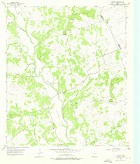
1954 Map of Rumley
USGS Topo · Published 1976About this map
The Lampasas River winds through this rural landscape on the border of Coryell and Lampasas Counties, anchoring a network of small upland settlements and family landmarks. The mid-1950s terrain is characterized by its numerous rural congregations and burial grounds, such as Rock Church, Clay Rock Ch, and the Rock Church Cemetery. These features, along with several family-named cemeteries like Smith Cem and Garner Cem, provide significant data for genealogical research in this part of Texas.
Find a feature on this map
21 named features on this map. Tap any name to fly to it.
Don’t see what you’re looking for? This feature index may not catch every label — zoom into the map to look around manually.
Map Details
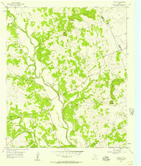
Editions of this 1954 Rumley Map
2 editions found
Other maps of this area

1887 · Lampasas
USGS Topo · 1:125,000

1894 · Lampasas
USGS Topo · 1:125,000

1894 · Gatesville
USGS Topo · 1:125,000

1947 · Fort Hood
USGS Topo · 1:62,500

1947 · Purmela
USGS Topo · 1:62,500

1947 · Pidcoke
USGS Topo · 1:24,000

1947 · Twin Moutains
USGS Topo · 1:24,000

1947 · Copperas Cove
USGS Topo · 1:24,000

1954 · Brownwood
USGS Topo · 1:250,000

1954 · Evant
USGS Topo · 1:62,500