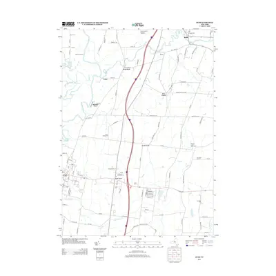
2013 Map of Rush
USGS Topo · Published 2013About this map
The Genesee River and its meandering tributaries, including Honeoye Cr, carve through this landscape at the junction of Monroe and Livingston Counties. This 2013 survey documents a blend of established river-valley agriculture and modern infrastructure, where Coyne Farms and the Barber-Mulligan Farm represent the area's deep-rooted farming heritage. Significant for genealogists, the map identifies numerous small burial grounds such as the Warren Cem, Cox Cem, and the remote Chet Dalton Farm Cem. Transport history is anchored by Wadsworth Junction near Golah, while contemporary aviation is represented by Bedson's Land Base Airport. The transition from rural crossroad communities like Five Points to the developed centers of Rush and Avon is clearly visible, providing a precise record of the regional settlement pattern and land use in the early 21st century.
Find a feature on this map
109 named features on this map. Tap any name to fly to it.
Don’t see what you’re looking for? This feature index may not catch every label — zoom into the map to look around manually.
Map Details
Editions of this 2013 Rush Map
This is the sole edition of this map. No revisions or reprints were ever made.
Other maps of this area

1895 · Rochester
USGS Topo · 1:62,500

1898 · Rochester
USGS Topo · 1:62,500

1899 · Brockport
USGS Topo · 1:62,500

1901 · Honeoye
USGS Topo · 1:62,500

1904 · Caledonia
USGS Topo · 1:62,500

1904 · Honeoye
USGS Topo · 1:62,500

1912 · Rochester
USGS Topo · 1:62,500

1920 · Rochester
USGS Topo · 1:62,500

1931 · Mendon Ponds
USGS Topo · 1:24,000

1934 · Rush
USGS Topo · 1:24,000