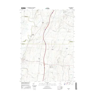
2016 Map of Rush
USGS Topo · Published 2016About this map
Honeoye Creek meanders through the heart of this landscape, joining the Genesee River near the small settlement of Golah. The region is defined by a series of long-established hamlets including Rush, West Rush, and North Avon, which are connected by a dense network of early roads such as Gilbert Mills Rd and Ryder Hill Rd. This survey documents a quiet rural corridor where family farms and local history are etched into the land via numerous burial grounds, including the Chet Dalton Farm Cem and Warren Cem. The map also captures specialized land uses like the Bedson's Land Base Airport east of East Avon. The shifting county line between Monroe and Livingston counties is prominently marked, tracing a boundary through this agricultural and riparian terrain.
Find a feature on this map
83 named features on this map. Tap any name to fly to it.
Don’t see what you’re looking for? This feature index may not catch every label — zoom into the map to look around manually.
Map Details
Editions of this 2016 Rush Map
This is the sole edition of this map. No revisions or reprints were ever made.
Other maps of this area

1895 · Rochester
USGS Topo · 1:62,500

1898 · Rochester
USGS Topo · 1:62,500

1899 · Brockport
USGS Topo · 1:62,500

1901 · Honeoye
USGS Topo · 1:62,500

1904 · Caledonia
USGS Topo · 1:62,500

1904 · Honeoye
USGS Topo · 1:62,500

1912 · Rochester
USGS Topo · 1:62,500

1920 · Rochester
USGS Topo · 1:62,500

1931 · Mendon Ponds
USGS Topo · 1:24,000

1934 · Rush
USGS Topo · 1:24,000