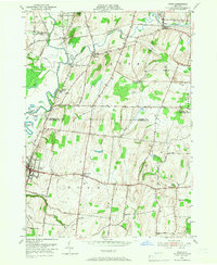
1951 Map of Rush
USGS Topo · Published 1966About this map
The Genesee River and Honeoye Creek define the agricultural and transit corridor south of Rochester in the early 1950s. This landscape is a dense network of steam-era infrastructure, where the Lehigh Valley, Pennsylvania, and Erie RR railroads converge near historic junctions like Golah and West Rush. The map reveals the institutional and social fabric of the era, including the sprawling State Industrial School near Gannett and numerous family or community burial grounds such as Warren Cem and Oak Ridge Cem.
Find a feature on this map
52 named features on this map. Tap any name to fly to it.
Don’t see what you’re looking for? This feature index may not catch every label — zoom into the map to look around manually.
Map Details
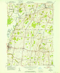
Editions of this 1951 Rush Map
2 editions found
Other maps of this area

1895 · Rochester
USGS Topo · 1:62,500

1898 · Rochester
USGS Topo · 1:62,500

1899 · Brockport
USGS Topo · 1:62,500

1901 · Honeoye
USGS Topo · 1:62,500

1904 · Caledonia
USGS Topo · 1:62,500

1904 · Honeoye
USGS Topo · 1:62,500

1912 · Rochester
USGS Topo · 1:62,500

1920 · Rochester
USGS Topo · 1:62,500

1931 · Mendon Ponds
USGS Topo · 1:24,000

1934 · Rush
USGS Topo · 1:24,000