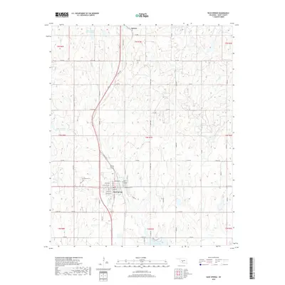
2018 Map of Rush Springs
USGS Topo · Published 2018About this map
Rush Springs serves as the central hub of this Grady County landscape, featuring a dense grid of streets including Blakeley Ave, Choctaw Ave, and Comanche Ave. This 2018 survey illustrates the local topography of the southern Oklahoma plains, where water resources like Carter Spring and Taylor Lake are vital to the community and surrounding agriculture. The town's history is preserved at Westview Cem and Rush Springs Cem, providing valuable touchpoints for genealogical research.
Find a feature on this map
62 named features on this map. Tap any name to fly to it.
Don’t see what you’re looking for? This feature index may not catch every label — zoom into the map to look around manually.
Map Details
Editions of this 2018 Rush Springs Map
This is the sole edition of this map. No revisions or reprints were ever made.
Other maps of this area
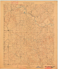
1902 · Rush Springs
USGS Topo · 1:125,000
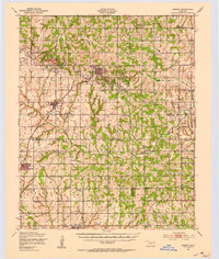
1949 · Cement
USGS Topo · 1:62,500
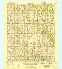
1949 · Nellie
USGS Topo · 1:62,500
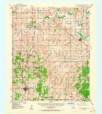
1949 · Rush Springs
USGS Topo · 1:62,500
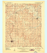
1950 · Rush Springs
USGS Topo · 1:62,500
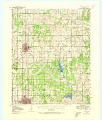
1950 · Marlow
USGS Topo · 1:62,500
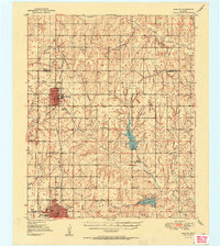
1951 · Marlow
USGS Topo · 1:62,500

1955 · Lawton
USGS Topo · 1:250,000
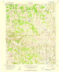
1956 · Laverty
USGS Topo · 1:24,000
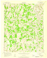
1956 · Rocky Ford
USGS Topo · 1:24,000