
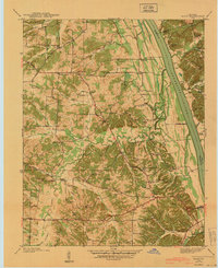
1950 Map of Rushing Creek
USGS Topo · Published 1953About this map
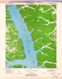
Kentucky Lake dominates this 1950 topography, following the inundation of the Tennessee River valley. The map documents a landscape in transition as the recently formed reservoir altered the geography of the borderlands between Kentucky and Tennessee. The interior of the "Land Between the Lakes" is defined by the Tennessee Valley Divide, which separates the drainages of the lake from the eastern hollows.
Find a feature on this map
52 named features on this map. Tap any name to fly to it.
Don’t see what you’re looking for? This feature index may not catch every label — zoom into the map to look around manually.
Map Details
Editions of this 1950 Rushing Creek Map
5 editions found
Other maps of this area

1936 · Tharpe
USGS Topo · 1:24,000

1936 · New Concord
USGS Topo · 1:24,000

1936 · Hamlin
USGS Topo · 1:24,000

1936 · Fenton
USGS Topo · 1:24,000

1936 · Hiatt
USGS Topo · 1:24,000

1936 · Golden Pond
USGS Topo · 1:48,000

1936 · Rushing
USGS Topo · 1:24,000

1936 · Hico
USGS Topo · 1:24,000
1940 · Hiatt
USGS Topo · 1:24,000

1942 · New Concord
USGS Topo · 1:24,000